Climate scientists refer to the anomaly as ENSO, for El Niño Southern Oscillation. The term describes the fluctuations in temperature between the ocean and atmosphere in the east-central Equatorial Pacific, just west of the Peruvian coast. The area is roughly between the International Date Line and 120 degrees west.
The ENSO cycle has three distinct phases: El Niño, La Niña and neutral. El Niño is defined when sea surface temperature is unusually warm for an extended period of time. La Niña is declared when equatorial Pacific is unusually cool for an extended period of time. Neutral phase is defined when the sea surface temperature is considered normal.
These large-scale changes in the surface water temperatures are linked to changes in the strength of the trade winds blowing from east to west across the region, which impacts weather patterns across the globe.
According to the NOAA Climate Prediction Center and International Research Institute for Climate and Society, a strong El Niño will continue through the Northern Hemisphere during the winter of 2015-16, followed by weakening and a transition to ENSO-neutral during the late spring or early summer.

Some of the expected outcomes are:
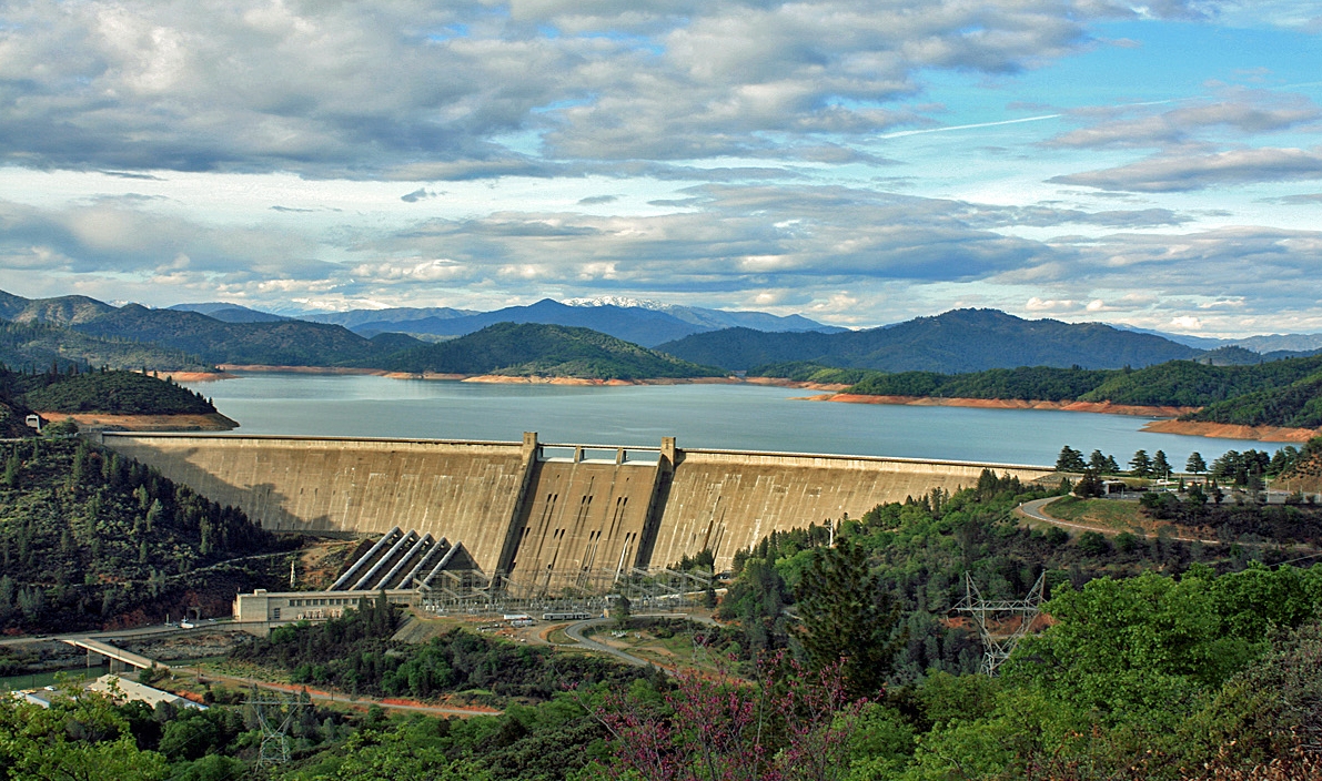
- Increased risk of flooding for California, since most of the precipitation is expected in the form of rainfall, rather than snow. Increasing streamflow in undammed rivers and quick filling of reservoirs that come with the potential for reservoir releases for flood control.
- Early bud breaking in many agricultural crops due to warmer than usual conditions. This can have significant yield impact on crops that rely on sufficient chill for proper development, such as citrus, apples, tree nuts and grapes.
- Increased aquifer recharge through so-called groundwater banking.
UC Agriculture and Natural Resources researchers will continue to monitor the El Niño Southern Oscillation and how it influences weather patterns in California. Future articles will provide detailed discussions on El Niño, with a focus on water resources impacts, effects on crops and potential for groundwater recharge.
An initiative to improve California water quality, quantity and security is part of the UC Division of Agriculture and Natural Resources Strategic Vision 2025.
Authors: Tapan Pathak, UC ANR Cooperative Extension specialist in climate adaptation in agriculture and Samuel Sandoval Solis, UC ANR Cooperative Extension specialist in water resources