
About the Delta

While the region is known for its waterway configuration, the Delta is also unique for its fertile soils. The soils range from peat to mineral. The peat soils are the remnants of decomposed tule marshes, and the mineral soils are the result of alluvial deposits from waterways. These soils were reclaimed in the mid- to late-1800's when levees were constructed to contain water within channels, allowing "islands" to be farmed.
The area of the Delta is approximately 738,000 acres (DWR, 2008). The majority of this area – over 500,000 acres – is agricultural land spread over five counties: San Joaquin, Sacramento, Yolo, Solano, and Contra Costa. Food, fiber, and forage are grown in the Delta.
Delta Crops
See the Delta Crops Calendar for the timing of operations for these Delta crops: alfalfa, asparagus, corn, processing tomatoes, safflower, and winter cereals.
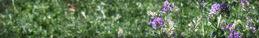
In general, the top crops by acreage are:

- Corn for grain and forage
- Alfalfa
- Wheat and other small grains
- Wine grape
- Processing tomato
Other important Delta crops are rice, safflower, sweet corn, other forages, pear, almond, walnut, dry beans, cherry, and potato.