Register Now: Terrestrial LiDAR in Forestry/NRM: Field Day/Workshop in Santa Cruz Mountains - June 18
Join us: Terrestrial LiDAR Field Day: Applications in Forestry and Natural Resource Management
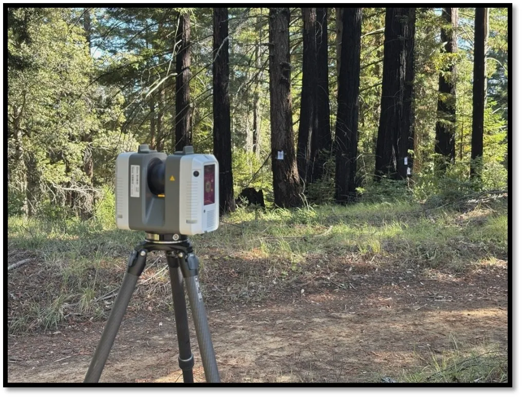
What is TLS?
Terrestrial laser scanning (TLS) is a portable, field based remote sensing tool that captures 3-dimensional models of environments. In forestry, TLS can be used to conduct detailed inventories, biomass and carbon
accounting, assess wildfire risk and fuel loads, and track forest change over time. At the Soquel Demonstration State Forest, a team of researchers is using TLS as part of CalFire Forest Health Research Grant to assess the
influence of selective harvest of coast redwood on forest carbon stocks, forest structure, and wildfire resilience.
About the Field Day and Workshop
In this workshop, you will have the opportunity to learn about applications of TLS in forestry including
advantages, typical uses, and challenges of implementation across objectives, and see a crew actively
collecting LiDAR data using a TLS in real-world conditions at CAL FIRE's Soquel Demonstration State Forest
(SDSF). Followed by lunch, presentation, and Q&A of experts in TLS at the Aptos Library.
June 18th, 2026, 8am-1:30pm
Registration required: https://link.ucanr.edu/tls
Meet at the Aptos Library, field trip to Soquel Demonstration State Forest. Lunch and transportation provided.
Questions? Call Brian Woodward, Forest Advisor: 831-348-7305
This workshop is funded by the California Department of Forestry and Fire Protection (CAL FIRE), Forest Health Research Program, and
California Climate Investments (CCI)