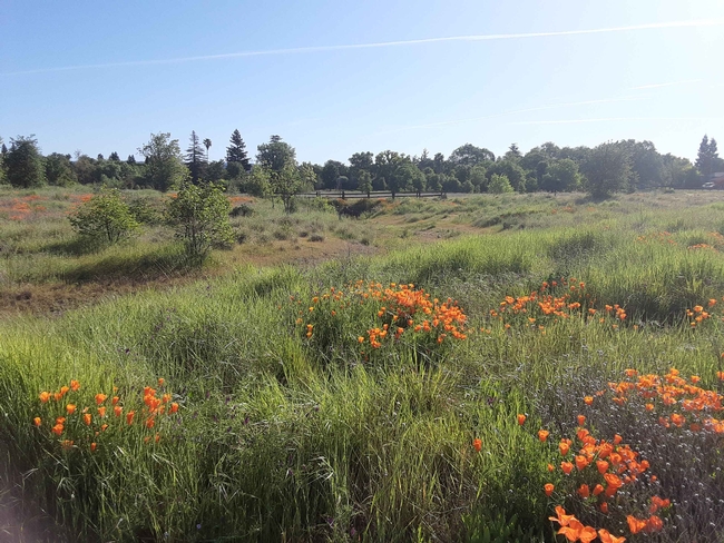
If you seek a peaceful place to explore nature and local history on foot or by bicycle, it may be time to explore Verbena Fields. This 20-acre site was historically a floodplain for Lindo Channel and later became used as a gravel mine for road construction. Verbena Fields poppies and bioswale, Laura Lukes
The area was restored in partnership with state and local agencies, including the California Water Resources Board (a major funder), the CSU, Chico Research Foundation, Big Chico Creek Watershed Alliance, Streaminders, and the Mechoopda tribe. The restoration plan included input from neighbors, along with experts in wetland restoration, urban runoff mitigation, native plants, and local fauna. Together, these entities transformed a pile of rocks, broken asphalt, and noxious weeds into a natural refuge for humans, animals, and plants.
Verbena Fields Overview, Laura Lukes
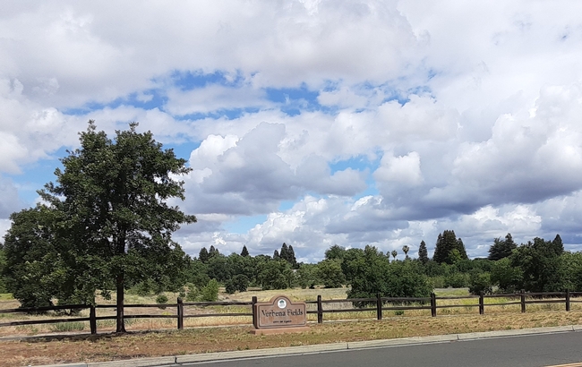
Verbena Fields floodplain restoration sign, Laura Lukes
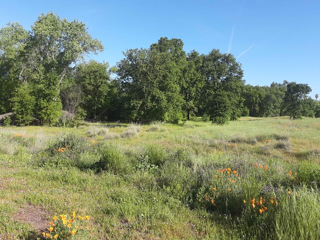
Verbena Fields oak vista, Laura Lukes
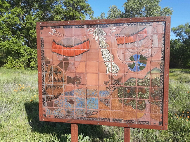
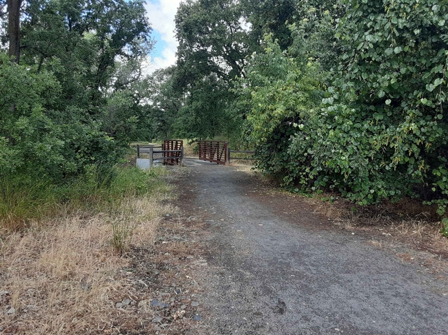
A wide, level path of crushed gravel (handicap accessible and suitable for small children and strollers) meanders along the perimeter of Verbena Fields. A second path bisects the site approximately at its midsection. We enter at the southwest corner, where Verbena Lane and East First Avenue intersect. Signage lets you know that your dog is welcome, on a leash, and at this corner there is a drinking fountain and a dog bag dispenser. To the left, a level strip of small trees, shrubs, and wildflowers borders the backyard fences that make up the western boundary of the site. To the right, desire lines (informal paths) lead from level ground to the Mechoopda Gathering Circle, a lowland area that features a beautiful tile mosaic depicting aspects of tribal life.
Verbena Fields Mechoopda mosaic, Laura Lukes
To the right is the open grassy area that comprises the bulk of the site and surrounds the wetland expansion portion of the project. The bisecting trail runs through the lupine and poppy (and also star thistle) that grow among the grasses. This middle trail affords access to a heavily shaded grove in which someone has fashioned a 10 to 12-foot- tall teepee from lumber scraps. An old rug has been placed inside, and it looks like a peaceful place to meditate, or the perfect place to play a game of fort.
Verbena Fields footbridge over Side Channel, Laura Lukes
Springtime at Verbena Fields is particularly beautiful: grasses are green and supple, redbuds, poppies, and lupines combine to make a palette of bright color, and fresh leaves bud from the limbs of the deciduous trees. Summer is dryer and crisper, but the shady groves of large trees and the low-lying cool spots offer respite from the heat. Fall brings the changing of colors when the grasses mellow to shades of heather, and in winter (if we are lucky with the rains) one can appreciate the value of the bioswales and wetlands features, as well as the view of the foothills to the east.
Whatever the season, Verbena Fields is a delightful place to visit. Just follow East First Avenue eastward, away from the busy bustle of traffic, to find it.
