


All Issues
Letters
Publication Information
California Agriculture 55(2):4-4.
Published March 01, 2001
PDF | Citation | Permissions
Full text
As discussed by Drake et al. (Nov-Dec 2000, p. 46), the Scott River drops to a very low level in the fall, going completely dry in some drought years. The situation is not only a risk to anadromous fish, but is a broader threat to all aquatic life and recreation.
However, to model stream discharge in a large basin such as the Scott, which has substantial geographic and elevation differences in the amount and types of precipitation, multiple precipitation variables should be used. The authors focus exclusively on snow data from two courses and conclude, “Fall flows have trended lower because of a downward trend in water content of snow.” A more accurate approach would be to use all seven snow courses as well as precipitation data in the Scott River basin. Furthermore, I have made measurements at the two snow courses cited for the last 15 years and have observed a technical problem: the surrounding forest vegetation is rapidly encroaching, apparently diminishing the effective catch. At the same time, the authors mention that the water content at two different courses is not declining, but offer no explanation for not including this data in the analysis.
Irrigation — through surface diversions and wells — uses a large volume of water each summer. After the previous winter's precipitation and snow have completely run off by mid-June, flow in the Scott is sustained by base flow from groundwater. This water is used to irrigate about 40,000 acres of alfalfa and pasture. The amount is much greater than the flow in the river in the July-September period.
To assist managers with the late-season low-flow problem in the Scott River, it will be neces-
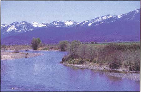
Snowpacks above the Scott River are declining, affecting the river's flow.
Jay H. Power, District Hydrologist Scott River Ranger District Klamath National Forest
The authors, Daniel J. Drake, Kenneth W. Tate and Harry Carlson, respond:
We agree that a model based upon a broad and accurate set of data would help managers to understand the late-season flow problem in the Scott River. Such a broad model would logically include geographically referenced vegetation maps, water demand estimates, detailed surface and subsurface hydrology, stream geomorphology and precipitation inputs. Unfortunately, much of this basic input data is simply not available. As suggested by Mr. Power, we did analyze all available weather-related variables in the development of our multivariate model but in the end included only those significantly correlated to flow. Including additional weather variables, which did not correlate well to flow, would have yielded a nonvalid statistical model and would have produced little or no understanding of the possible cause-and-effect relationships. We were pleased to be able to account for the majority of flow variation with a few logically selected weather parameters.
Snowfall is an important predictor of fall flows, and every effort should be made to assure that public records, such as snow measurements, are recorded and maintained accurately, without bias. Evaluation of canopy changes is a logical extension of this work and might explain the decreasing snowpack, and the lower flows.
Letters

