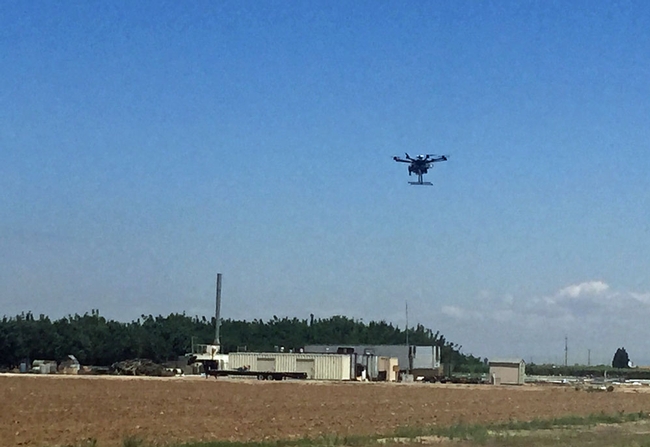
“The intent of this workshop is to start bringing the knowledge about unmanned aerial systems to the University of California Agricultural and Natural Resources division and the public at large,” said Sean Hogan, coordinator of Informatics Geographic Information Systems for UC ANR. “There is so much curiosity about it right now, it's a growing industry and there is a lot of concern and controversy about the misuses on it.”
The article said the UC system now has the green light to begin using drones. Hogan is holding workshops throughout the state to share his expertise with UC ANR employees and members of the community.
Desert Research and Extension Center director Jairo Diaz said the workshop was important because participants were able to see a demonstration of how the technology works and how it can be applied to the projects and research they are currently working on.
“These workshops that give growers and stakeholders can use in the area are very important because tech like this can help in the near future help find out different types of issues on the field like management of nutrients, water and find out to improve management of field,” Diaz said.
At the UC Kearney Agricultural Research and Extension Center last week, technicians tested a drone that will be used throughout the summer to collect growth data on 600 varieties of sorghum begin produced under different irrigation regimens. With imaging and lidar, the drone collects information on leaf area and biomass in half an hour that would take a full day for a person in the field.
Read more about the sorghum research at Kearney here.