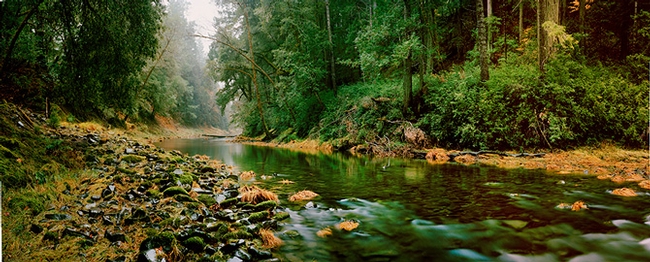
UC Berkeley scientists will receive $4.9 million over the next five years to study the nearly 10,000 square kilometer Eel River watershed in Northern California and how its vegetation, geology and topography affect water flow all the way to the Pacific Ocean.
What the researchers uncover will help improve global climate models and modeling tools that can be used by state or regional decision makers to guide planning. Their discoveries may eventually allow scientists to predict the impact of changing climate and land use on future droughts, floods and supplies of water for drinking and agriculture.
Funded by the National Science Foundation, the Eel River Observatory is one of four new Critical Zone Observatories that received grants late last year, bringing the total number of such observatories to 10. All focus on the so-called “critical zone”: the thin veneer of Earth, from the bottom of the groundwater to the tree tops, that is critical to aquatic and terrestrial life as the source of fresh water and site of soil formation from rock.

“Whatever the agricultural use in the future, we will see increasing demands on a decreasing water resource,” said observatory director William Dietrich, UC Berkeley professor of earth and planetary science and an expert on the processes that shape landscapes.
Other UC Berkeley faculty members involved in the new project include professors Jill Banfield and Inez Fung of earth and planetary science and of environmental science, policy and management; earth and planetary science professor Jim Bishop; environmental science, policy and management assistant professor Stephanie Carlson and professor Mary Firestone; integrative biology professor Mary Power; and civil and environmental engineering assistant professor Sally Thompson.
“The critical zone provides most of the ecosystem services on which society depends, such as clean water, food, nutrients, soil and carbon storage,” said Roger Wakimoto, NSF assistant director for geosciences. “Researchers at the new CZO sites will investigate the past evolution and present state of the critical zone to predict how Earth’s surface will evolve in response to future human activity and to climate change. The results will provide the scientific basis for decision-making on how humans can best mitigate, adapt and respond to both slow and abrupt environmental changes.”
