Recently, I have answered more and more inquiries from those who own a parcel and are wondering about agricultural development or those who are looking to purchase. The foothills, it seems to me, are becoming impacted by a growing California population and those who may be priced out of other locations and seek a rural lifestyle.
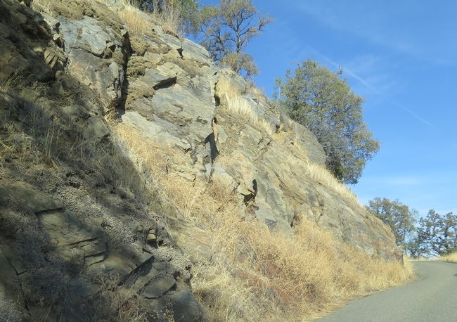
But the "what can I grow?" question, as I call it, is more complicated to answer than some anticipate. The key is to not have any preconceived notions (this isn't the Valley nor is it the North Coast) and to be open to exploring the opportunities, and challenges, the foothill landscape offers. The foothills are kind of like Nebraska, whose new slogan is "Honestly, it's not for everyone" (true!)
The first step to evaluating a property's suitability for agricultural development is to understand the natural resources that parcel offers. The most important: soils, water, microclimate. Enter an amazing resource...the Natural Resource Conservation Service (NRCS) Web Soil Survey! I recently received word that after 12 (or more) years of work, the Calaveras and Tuolumne county soil series maps have been added to our NRCS database and included in the Web Soil Survey (WSS). Calaveras and Tuolumne had been the only 2 California counties for which the soils were not mapped previously. This work, led by our local Tuolumne county NRCS office headed by Theresa Kunch and her team of soil scientists, represents a wonderful resource for anyone interested in land, for any reason.
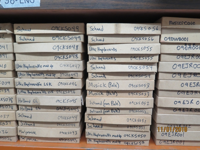
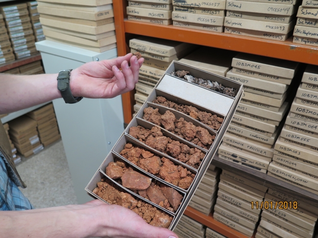
Last fall I asked Andrew Brown, NRCS Soil Scientist and one of the staff in the Sonora office, to help me explain local soils while visiting a landowner. While visiting his office, Andrew gave me a brief tour of their soil library, where samples of soil class types are stored (sort of like looking at a soil scientist's version of a pinned insect collection!) Each box has a sample of that soil series collected at each "horizon" (unique soil that changes with depth). This is like looking at what a soil pit dug with a backhoe would show you if you had dug to the bedrock of that series. Soil color and texture and the size and shape of soil particles give an indication of the soil's fertility.
Whenever I get the "what can I grow on my property?" question, I encourage the landowner to dig a soil pit to get a good look at their soils, BEFORE they plant. Soil depth, texture and percent rock (some of the foothill soils have alot of rocks!) all contribute to a soil's water holding capacity. Soil is, in some ways, a key to water, and water is a limiting factor in agricultural productivity. Understanding the soil will help greatly with planting decisions, such as spacing, rootstock, and soil amendments.
Take a look at the soil survey map available online, then go out and dig your pits. Using the WSS may not be easy the first time around, although there are excellent instructions (begin by defining your AOL "area of interest") on the web page. I also really like the UC Davis California Soil Web Resource app, created by our UCANR Toby O'Geen and his lab and is newly updated for use on a mobile phone or tablet. I just bookmarked it on my phone homepage, for easy access when I'm out in the field. Check it out!
This post is from Foothill Fodder.


