- Author: Sabrina L. Drill
Ventura County residents looking for information about Thomas Fire Recovery will want to check http://venturacountyrecovers.org/community-meetings/ for the very latest information from county, state, and federal disaster relief agencies. In Santa Barbara, residents will want to check here - https://www.countyofsb.org/fire-recovery.sbc
The agriculture community will be interested in a UCCE hosted workshop on fire and frost damage and preparation January 10th at the Agriculture Museum in Santa Paula - http://ucanr.edu/sites/SAFELandscapes/?calitem=396547&g=29423
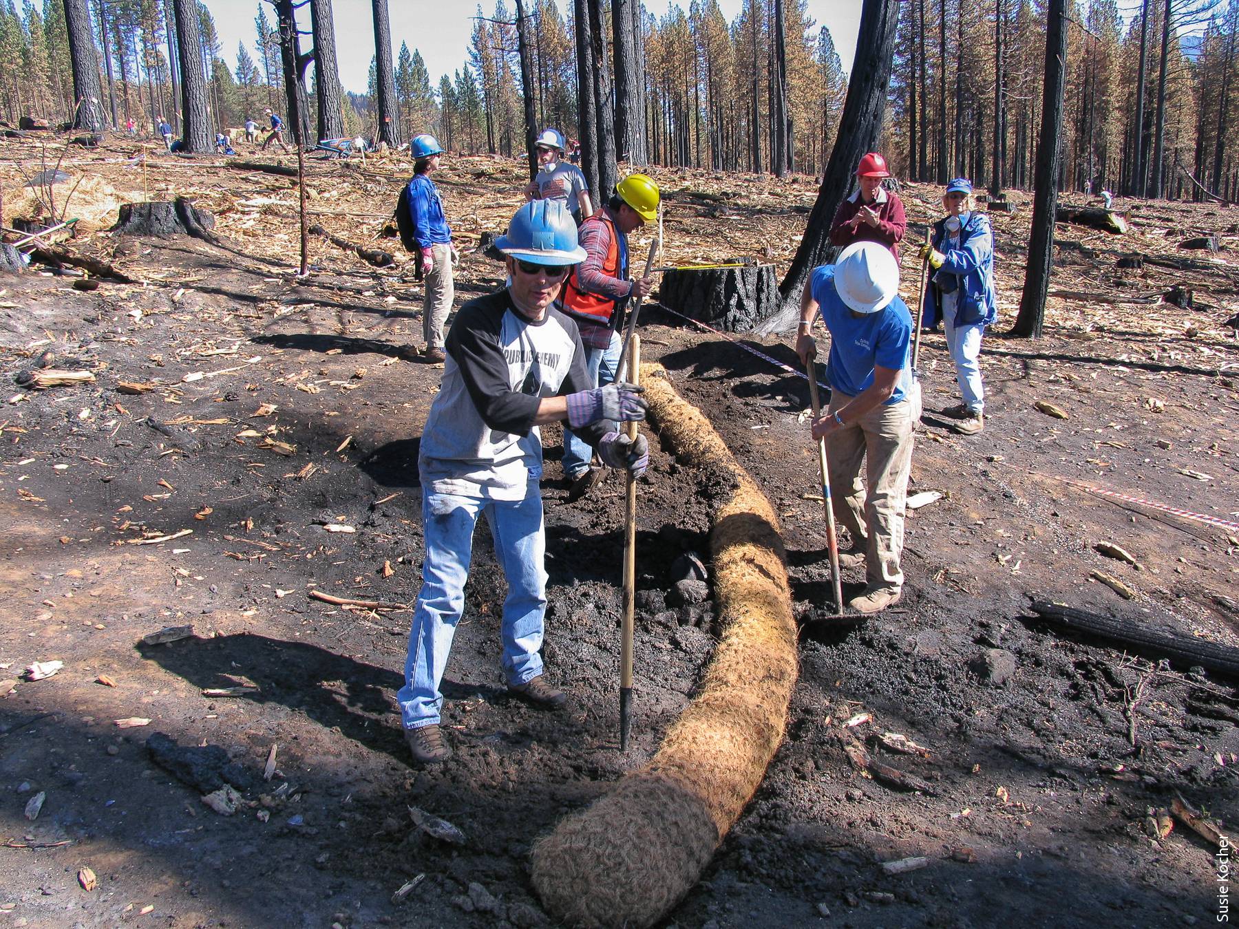
If you are looking for information about or volunteer opportunities to help with the recovery of natural areas, however, there are a few events coming up:
Ventura Land Trust will be hosting a volunteer opportunity for Martin Luther King Jr. Day January 15th at their Big Rock Preserve, http://www.venturalandtrust.org/mlk_20180115, and will also be hosting a lecture by my colleague Dr. Sean Anderson from CSU Channel Islands January 17th at 7:00 PM at Poinsettia Pavilion - http://www.venturalandtrust.org/lecture_thomas_fire.
I'll be speaking about fire recovery, invasive species, and erosion issues at the Santa Clara River Watershed Council meeting January 24th, 9-11 am at the United Water Conservation District, and February 24th at the Casitias Water District public meeting - more soon!
February 17th the Ojai Valley Land Conservancy's Plant Walk will include a talk by folks from the California Chaparral Institute - https://www.facebook.com/events/142471386462631/
- Author: Sabrina L. Drill
The Natural Resources Conservation Service has a series of helpful fact sheets about post-fire erosion control methods. To choose the right methods, you'll need to examine your unique situation and goals. These include whether your concerns are more immediate or if you have the opportunity to consider medium to long-range vegetation recovery, the degree of your slopes, how intense the burn was near you (is there still standing charred vegetation that might re-sprout?) and what the underlying geology and soil types are. You may need a site visit from an erosion control specialist, but these fact sheets can help you weigh your options NRCS Post-fire resources
Ventura County residents should also be following the County's post-fire website - http://venturacountyrecovers.org/ - of special note, Calrecycle just announced they will be able to assist homeowners with debris removal - http://venturacountyrecovers.org/information-meetings-set-calrecycle-debris-removal-services-deadline-right-entry-forms/
- Author: Sabrina L. Drill
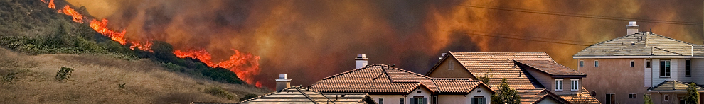
California is experiencing an unprecedented wildfire season. The season is extraordinary not only due to the number of acres burned, but aslo due to the length, with large fires and red flag warnings expected through the end of the year. In October of 2017, fast-moving wind-driven wildfires burned through more than 200,000 acres in seven California counties. More than 8,000 homes were destroyed and 42 people lost their lives as they tried to escape. In December, new incidents began in Southern California, with the largest fire, the Thomas fire in Ventura and Santa Barbara counties estimated at almost 272,000 acres (~435 mi2) as of 12/19/17. Smaller fires such as the Rye, Creek, and Skirball fires in December and the La Tuna fire in September occurred in Los Angeles county and burned just under 30,000 acres. Losses in Southern California were extensive in Ventura and Southern Santa Barbara counties (over 1250 structures destroyed or damaged).
The Thomas fire is one of the largest fires ever recorded in California history – but perhaps more important than acreage is the location of this, and the recent wine country fires burning significant areas of urban and suburban development. The land uses affected by these fires are complex as well, including residential and commercial areas as well as areas of row and tree crops, active rangeland, and wild habitat along with its significant watershed protection and recreational values.
In addition to the local resources to be found at http://ucanr.edu/sites/SAFELandscapes/, statewide information and resources can be found here.
 Thomas Fire image captured on 17 December 2017, by the MODIS instrument, on board the Terra satellite. from https://earthdata.nasa.gov/thomas-fire-california

