The UC Hopland Research & Extension Center (HREC) is a multi-disciplinary research and education facility in Mendocino County located in the foothills of the Coast Range about two hours north of Berkeley. As part of the UC system for over 65 years, we are stewards of more than 5,300 acres of oak woodland, grassland, chaparral, and riparian environments. Elevation at the center ranges from 500 ft to 3,000 ft. HREC currently maintains a research flock of about 500 breeding ewes that have been the subjects of numerous studies on ranching practices, range management, livestock nutrition, wool production and breeding. Field experiments and demonstrations conducted here since 1951 have led to more than 1,500 publications in animal science, entomology, plant ecology, public health, watershed management, and wildlife biology. Our website is hrec.ucanr.edu.
The River Fire
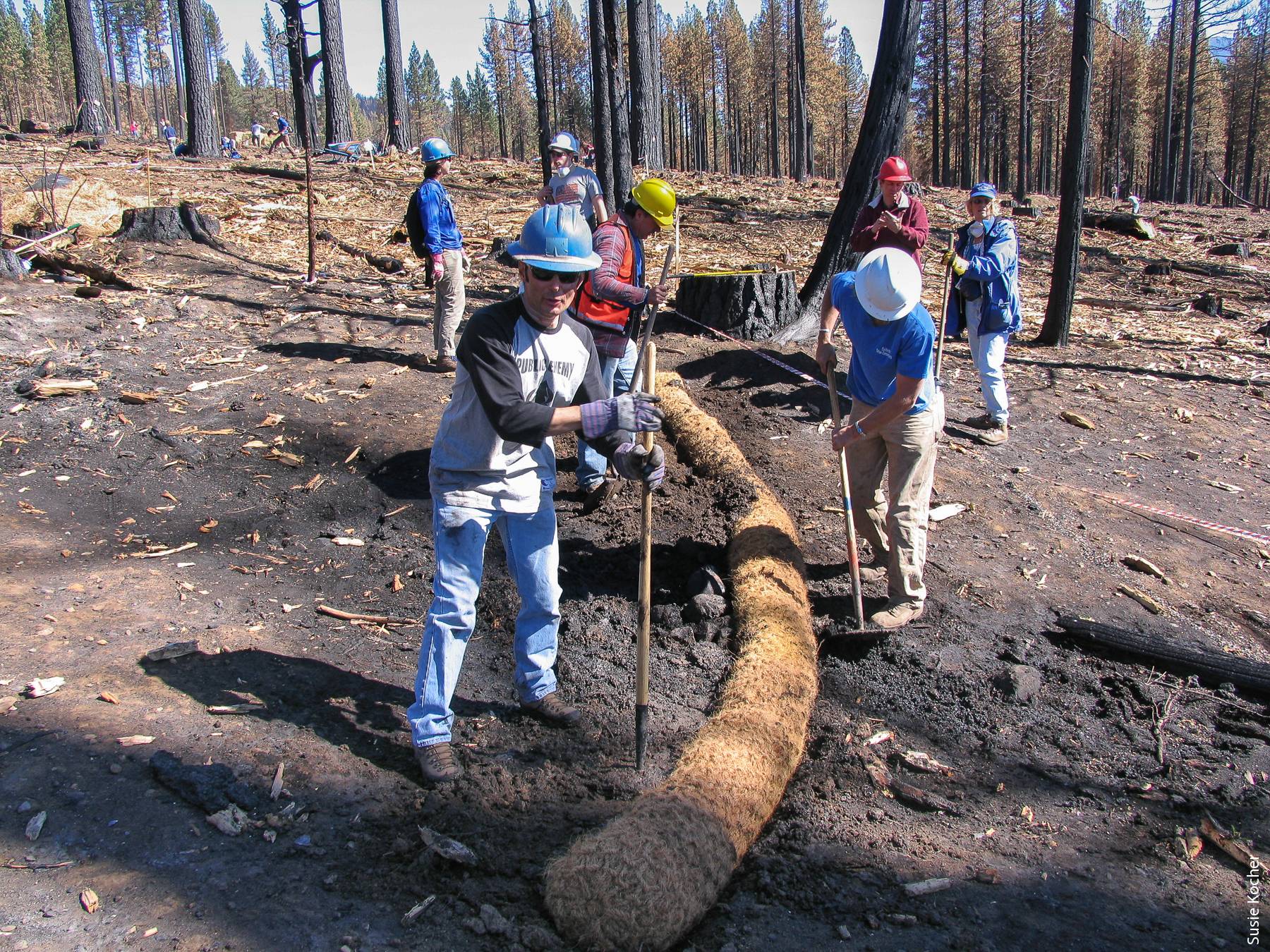
As part of the Mendocino Complex fire, the River Fire burned through HREC on the evening of July 27 and into July 28. Approximately 3,000 acres of our center burned in this fire. Due to the concentrated efforts of Center staff and Cal Fire crews, all of our employees, residents, sheep, livestock dogs, offices and residences were saved. Below please find the burn map of our property. All of the black area to the north was burned and the dark red patches were areas of vegetation that remained unburned. The fire intensity varied greatly as did oak survival. You will see two smaller burned areas in the southern part of the property that were prescribed burns performed in June of this year.
Research Opportunities
While this was a blow to current research, pastures, and water infrastructure, we also see this as a wonderful opportunity. Due to extensive historical data sets and ongoing research projects, coupled with a variety of grazed and ungrazed pastures, and prescribed burn plots for comparison with wildfire, there is enormous potential for pre- and post-fire studies in the fields of:
Watersheds and hydrology; fire science; plant science; soil science; entomology and parasitology; wildlife and wildlife ecology; rangeland management; grazing practices as fire suppression…..
To support this research, HREC offers:
A well maintained network of roads that accesses almost all parts of the property, vehicles to use.
A fully equipped shop staffed by employees skilled in fabrication and repair of research equipment
o Electrical, wood working, welding and metal fabrication, mechanical
Skilled staff trained in field work techniques, with long histories of successful research support
Fiber optic internet with Wi-Fi access throughout headquarters, strong cell service in most areas
A vault of raw data, photos, and final papers from research conducted at HREC.
Warehouses for storing equipment, a variety of accommodations from dorms to private houses
Wet and dry lab space (undergoing renovation during fall 2018, available spring 2019)
Lysimeter with available watering system, electrical connections, and fiber optic access point
A research flock of sheep consisting of just under 500 breeding ewes, with all needed facilities and RFID tracking
Fenced pastures and biological reserve areas for different treatment plots and controls
A fully equipped conference facility with A/V equipment and fiber optic connections
Next Steps
Zoom meeting on September 7th, 10am. More in depth information, Q&A.
Field day on October 19th, 10am-5pm. Presentations, brainstorming, Q&A, site tours, available accommodations
The Natural Resources Conservation Service has a series of helpful fact sheets about post-fire erosion control methods. To choose the right methods, you'll need to examine your unique situation and goals. These include whether your concerns are more immediate or if you have the opportunity to consider medium to long-range vegetation recovery, the degree of your slopes, how intense the burn was near you (is there still standing charred vegetation that might re-sprout?) and what the underlying geology and soil types are. You may need a site visit from an erosion control specialist, but these fact sheets can help you weigh your options NRCS Post-fire resources
UC Davis research associate Kevin Welch, middle, takes inventory of plant regeneration a few years after wildfire in California's Lake Tahoe Basin. He's assisted by researcher Bill Stewart. Credit: Hugh Safford/USDA Forest Service
Quick Summary
Only about half of conifer trees regenerated five to seven years after wildfire in sites studied.
Study spanned 10 national forests and 4 burned areas in California.
Study presents tool to help foresters prioritize which lands to plant after a wildfire.
A study spanning 10 national forests and 14 burned areas in California found that conifer seedlings were found in less than 60 percent of the study areas five to seven years after fire. Of the nearly 1,500 plots surveyed, 43 percent showed no natural conifer regeneration at all.
The study was co-led by UC Davis and the USDA Forest Service and published December 21 in the journal Ecosphere. It presents a tool to help foresters prioritize which lands to replant immediately after a fire, and which lands they can expect to regrow naturally.
“High-severity fires are knocking out seed sources and leading to a natural regeneration bottleneck, which poses a predicament for the sustainability of our forests,” said lead author Kevin Welch, a research associate with the UC Davis Department of Plant Sciences.
For example, 10 of the 14 burned areas in the study, which include well-known wildfires like the Moonlight (2007) and Power (2009) fires, did not meet Forest Service stocking density thresholds for mixed conifer forests, making them good candidates for replanting and restoration efforts.
“Knowing that the Forest Service doesn't have the time, budget and staffing levels to restore everything, we basically want to help foresters predict what will be there five to seven years later so they can better focus restoration efforts,” Welch said.
How Does The Tool Work?
The researchers surveyed a range of elevations, forest types and fire severities –including in the Sierra Nevada, Klamath Mountains, and North Coast regions –to determine which factors promote and limit natural conifer regeneration and how different conifer species respond after a fire.
Using a simple tool developed by the research team, a manager can enter the forest the year following a fire and take a few field measurements –including distance to seed source, slope, and the cross-sectional area of living trees in the nearby forest. They can then predict whether a severely burned site is likely to meet a desired level of tree density five to seven years later.
Tested against four wildfires that were not in the study, the researchers found the tool was able to predict with more than 70 percent accuracy whether an area would likely need to be replanted or not.
The study plots were in California, but the authors suggest study results could apply to mixed conifer forests across the North American Mediterranean Climate Zone, which stretches from southwestern Oregon through California to northern Baja California and includes parts of western Nevada.
A Race For The Sun
As the research team saw while hiking through miles of dense brush, high-severity fires also stimulate shrub growth to the detriment of fire-resistant tree species that foresters try to encourage. The conifer regeneration that is occurring is heavily dominated by species that tolerate shade but not fire, such as Douglas fir, white fir and incense cedar.
Fire-resistant and drought-tolerant trees, such as ponderosa, sugar and Jeffrey pine, do not tolerate shade well. Such species are likely to better withstand the warmer, drier climates projected for California in the future.
Currently however, forest and fire conditions are not favorable for the survival of these more desirable trees. According to the study, strategies for increasing pines in California forests include reducing forest densities and fire severities while increasing overall fire occurrence (both prescribed fires and managed wildfires). They also suggest planting pines before shrubs and shade-tolerant trees crowd them out and remove their light source.
“As western forests increasingly experience warmer weather and more frequent and more severe fires, a better understanding of what conifers need to regenerate naturally after fire can help us create and manage more sustainable, resilient forests,” said co-author Hugh Safford, regional ecologist for the USDA-Forest Service's Pacific Southwest Region and a member of the adjunct faculty in the UC Davis Department of Environmental Science and Policy.
The study was funded by the USDA Forest Service and UC Davis.