For the past several years, California rice has been dealing with a pesky new weed, weedy rice, aka “red” rice. Weedy rice is a difficult pest to manage, because it is the same species as rice (both are Oryza sativa L.), rendering herbicide use next-to-impossible. In the southern U.S, rice-growing region (Texas, Louisiana, Mississippi, Missouri, Arkansas), they utilize two rice varieties (in rotation) that have been conventionally bred to tolerate the use of two herbicides: Clearfield (imazamox) and Provisia (quizalofop). Since weedy rice is susceptible to these chemicals, the entire field can be sprayed with these herbicides: the rice varieties survive, and the weedy rice is controlled. In California, these varieties are not available, so rice scientists here have been working on registering and applying spot-spray herbicides (no herbicides are currently registered for spot-spraying weedy rice in California rice).
Why drones?
Most of the weedy rice in California is found in small patches, or as individual plants, sprinkled throughout fields. Using a hand-held spot sprayer to spray individual plants in large fields (200 acres or more) is a lot of work, and also involves having a trained applicator that can identify weedy rice in the field. Using a drone to spray the individual plants would be a lot more efficient. Dr. Ken Giles, professor emeritus at UC Davis, is currently working on the spray technology aspect, and has made progress in being able to spray individual plants in a rice field (Giles, 2017). In order for the spray drone to work, however, it needs a map to follow so it “knows” where to spray. That is where the second part of the research comes in - can we map weedy rice?
Is it possible?
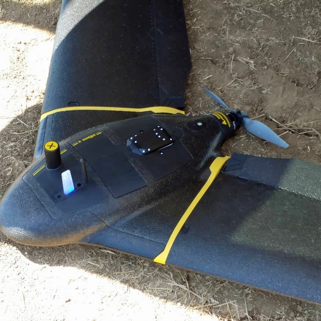
Mapping weedy rice in the field involves having a camera attached to a drone that can “see” the weedy rice in the field, and differentiate it from all of the other plants found in the field, namely the rice variety, and the other weed species. When we first began this research, we had many doubts. Weedy rice and rice are the same exact species, after all, and it seemed unlikely that we could find a camera to that had this capability.
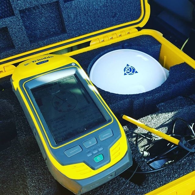
In 2018, we ran a preliminary drone flight in one field known to have weedy rice. We had two cameras, one a red-green-blue (RGB) camera, and one a multispectral (blue-green-red-red edge, and near infrared) camera. The positions of weedy rice and the rice variety were ground-truthed using a handheld GPS. When the data was analyzed, the weedy rice was not discernible from the rice in both the RGB and multispectral camera analysis.
In 2019, we ran two additional drone flights, this time angling the cameras at a 90-degree oblique angle, instead of straight down on the fields from above. We also ran an analysis using an Analytical Spectral Devices (ASD) hyperspectral electrospectrometer to collect spectral signatures from all of the plants in the greenhouse (weedy rice, rice and all major grass weed species). Unfortunately, once again, the results from the flights did not show discernable differences between the weedy rice and rice. The results from the ASD also showed small differences between the weedy rice, the rice variety and the weed species. However, the spectra the camera sees are currently not the ones where there are spectral differences between the plants.
Research outlook
So, is it possible to map weedy rice? It might be. Currently available cameras may not be able to “see” the spectral signatures of the plants. Sean Hogan, with the UCANR Informatics and GIS (IGIS) Statewide Program, will continue to analyze the 2019 data, and if it appears promising, we may fly again this year with a different camera. Look for an update in 2020!
This article was originally published in the UC Weed Science blog.
Author - CE Rice and Wild Rice Advisor, Master Gardener Advisor, UC Integrated Pest Management Program Afilliate

