Green news from the UC Division of Agriculture and Natural Resources
- Author: Janet Byron
Published on: November 24, 2010
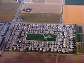
development in farm field
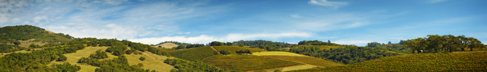
Geographic information system (GIS) models developed at UC Davis are being used to pinpoint the best farmland for conservation in the Central Valley. A new landscape-scale method, described in a recent issue of California Agriculture journal, was applied in Fresno County, and the approach is being extended regionally in the San Joaquin Valley.
“Policy programs and local planning agencies must assess farmland before implementing policies and programs aimed at farmland conservation,” lead author Evan Schmidt wrote in California Agriculture. “The application of GIS to existing land-assessment practices can update...
Tags: California Agriculture journal (5), Evan Schmidt (1), farmland conservation (1), Global Information Systems (1), land use (5)
Comments: 0
Viewing -3--3 of 1

