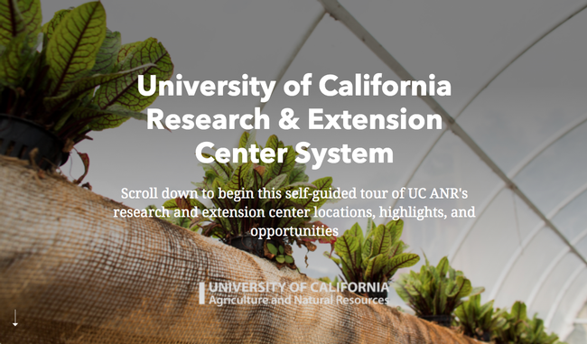
Take a virtual tour of the 9 RECs
UC ANR operates nine Research and Extension Centers (RECs), each location representing a unique climatic zone of the state. Extending from the Oregon border in the north, through the Sierra Foothills and Central Valley, along the Pacific Coast and south to the Mexico border, the REC System covers rich and unique resources connecting research and extension activities to regional challenges and issues. Now you can tour all of them without leaving your desk.
A virtual tour of UC ANR's nine research and extension centers is posted online at https://storymaps.arcgis.com/stories/3eac885337854895bd7039d7d4a131f1.
“The new REC tour was made to showcase a taste of the research and extension that goes on within the UC ANR REC System,” said Kathy Eftekhari, chief of staff to the vice president. “It was developed for general distribution to possible new partners across UC, CSUs, other research and Extension institutions across the country, private industry, state and local agencies, etc.
Employees are encouraged to view the tour and share it with interested stakeholders.
“Many people even within ANR are not fully aware of what goes on at each REC,” Eftekhari said.

