Green news from the UC Division of Agriculture and Natural Resources

- Author: Kim Ingram
Published on: June 13, 2012
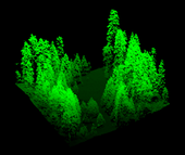
Lidar point cloud
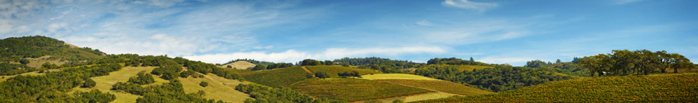
‘Visualizing’ forests from computer and other technological data is common practice in the field of forestry. Forest visualization is used for stand and landscape management and to predict future environmental conditions. Currently, most visualization software packages focus on one forest stand at a time (hundreds of acres), but now we can visualize an entire forest, from ridge top to ridge top. The Sierra Nevada Adaptive Management Project (SNAMP) Spatial Team principle investigators Qinghua Guo, associate professor in the UC Merced School of Engineering; Maggi Kelly, UC Cooperative Extension specialist in the...
Tags: Jacob Flanagan (2), Lawrence Lam (1), Lidar (2), Maggi Kelly (5), Qinghua Guo (1), Sierra Nevada Adaptive Management Project (12)
Comments: 0
Viewing -3--3 of 1

