- Author: Dustin Flavell
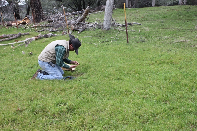
Samples taken in the SFREC's forage plot through the month of January (Clipped on Feb. 1) indicated 943 lbs/ac. This is 183% of the 34 year average of 516 lbs/ac. Our rain gauge indicates that we have received 28.14 inches of precipitation as of October 7th, only 0.3 inches shy of our total season precipitation average of 28.48 inches.
Will this productive start to the season mean a bigger peak crop? Perhaps not, looking at recent years that had similar germination forage values and similar forage production through January, this may not be the case. In the 2012-13 forage season (highlighted red) forage production through January was very similar. However, at the end of the forage growing season, peak standing crop was average. Looking at 2005-06 (highlighted yellow) there was a later first germination of November 7th, and near average forage production at 404 lbs/ac. It is more similar to this year, however, because the forage production through January was 983 lbs/ac, and that year ended with 139% of the average total season forage production.

In my 16 years of measuring production and reviewing the data, one thing is for certain. Predicting overall forage production in the early part of the growing season is difficult. Measurements taken in February, and even March, do not indicate a clear path as to how a forage production season will end up at peak standing crop. Click here to further explore over 30 years of forage production and weather data at SFREC. Looking at our production through April will certainly produce a clearer, more predictable picture of how this current year may end up.
- Author: Nathan Van Schmidt
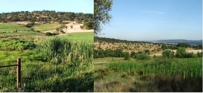
After five years, the northern Sierra Nevadas have finally been moved out of the “severe drought” category by the US Drought monitor following a promisingly rainy start to the 2017 water year. This is not only good news for our agricultural community, but it's also good news for our wetlands, which depend on steady water flow to stay saturated and perform their ecological functions. The gold country region of the Sierra Nevadas has over 1,500 wetlands, which can provide many important benefits including water quality control and purification, runoff reduction, aesthetic value, and wildlife habitat. The Beissinger lab has been working with SFREC and local landowners to study these wetlands since 2002, originally just to track a secretive, understudied bird species: the California Black Rail (Laterallus jamaicensis coturniculus). Our recent research has expanded to study how the wetlands function as a “coupled human and natural system,” affected by both ecological processes (rainfall and natural water flows) and human processes (our irrigation infrastructure and water use).
First, we've been tracking how these wetlands changed over time with a time series of historical aerial photographs stretching back to 1947. We first made a comprehensive map of all wetlands in the region, then selected a subset of 283 wetlands and tracked them back through time. Coupled with field visits, seeing what they were like under different historic irrigation regimes allowed us to determine the water sources for each wetland. Based on that study, we estimated that nearly 9 in 10 foothill wetlands are fed by irrigation water, and roughly 2 in 3 are entirely irrigation-dependent. Some of those wetlands were intentionally created: state wildlife areas use irrigation to create new wetlands and supplement existing ones, and private landowners on the edge of the Sacramento Valley create wetland impoundments for waterfowl hunting. But over half the irrigated wetlands of the foothills are fed apparently unintentionally by excess water, forming from runoff or leaks from irrigation infrastructure.
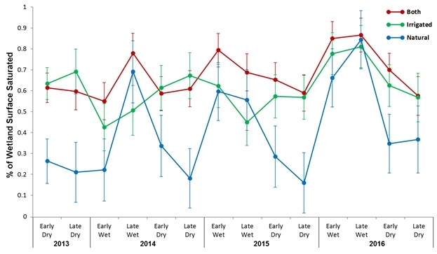
During times of drought, these wetlands are one of the most vulnerable ecosystems because they are characterized by the presence of relatively small amounts of water saturating the surface. We were interested in figuring out how wetlands fared during the drought, and especially if irrigated wetlands and natural wetlands behaved differently. To determine this, we carried out field visits to 270 wetlands up to 12 times during the 2014 drought. At each visit our technicians walked throughout the wetland with a map and estimated the percent of the wetland surface that was saturated (either surface water or spongy mud). We found that wetlands fed by irrigation water were both wetter on average and more stable over time than natural wetlands during the drought. Natural wetlands showed strong fluctuations in saturated area, with over half drying completely at least once during the study period, compared to only a third of irrigation-only sites and only 15% of sites that had both irrigated and natural water sources. While some drying during the summer dry season is normal, this degree of seasonality was exceptional compared to what our lab had seen in pre-drought years.
Irrigation water may thus be even more important during drought for wetland species' habitat. Concurrent studies conducted by our lab have found that natural wetlands had very high levels of local extinction for California Black Rails over the course of the drought: no natural wetland occupied by the species in one breeding season remained occupied in the next, and in the last two years of the drought no California Black Rails were detected in any natural wetlands. Irrigation water use in the foothills has thus not only dramatically increased the number of wetlands in the foothills, but has increased their function by keeping them saturated year-round. This has created a unique win-win scenario where private, chiefly agricultural water use has created substantial ecosystem benefits.
However, this increased resilience to drought could lead to sudden severe impacts if drought becomes any more severe than already seen. If irrigation water is removed from the wetlands at the same time as natural water—either via cutbacks in response to more severe drought, transferring water out of the foothills, or efforts to fix leaks and reduce runoff—it may create “cliffs” where wildlife populations, bolstered by water sources resilient to mild drought, decline rapidly when faced with sudden reductions in both natural and irrigated water sources. The next step for our lab is to assess whether such dynamics might occur, using computer simulation studies to link the results of our field research together and examine how the system might respond to hypothetical scenarios.
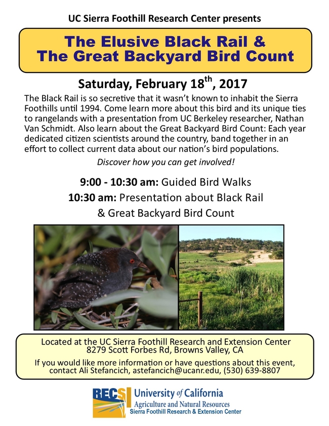
To learn more about the Black Rail, join us on February 18th.
- Author: Helen Dahlke
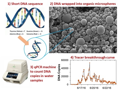
To overcome the problems that have plagued traditional tracer studies we have developed a new tracer concept that utilizes bio-molecular nanotechnology. We use short, artificially made DNA sequences that are wrapped into a safe, biodegradable polymer composed of polylactic acid (PLA) to protect the DNA from being eaten by microbes during the transport process. Because DNA is made of the four basic building blocks adenine (A), thymine (T), guanine (G) and cytosine (C) (Fig. 1), which can be combined in any random order, our unique DNA-based tracers allow, in theory, fabrication of an enormous number of unique tracers (approximately 1.61 x 1060) with identical transport properties. Because of their unique DNA sequence the tracers have unique IDs, thus, we can use multiple tracers at the same time in the same watershed. The amount of tracer present in a streamwater sample can be estimated with real-time quantitative polymerase chain reaction (qPCR), a method commonly used in molecular biology, which determines the number of DNA copies present in a sample. Finally, during the tracer fabrication process, we can alter the size of the tracer particles to anything from 200 nanometers (size of a virus) to 1 micrometer (size of colloids or bacteria), which helps mimicking the physical transport properties of the pollutant of interest.
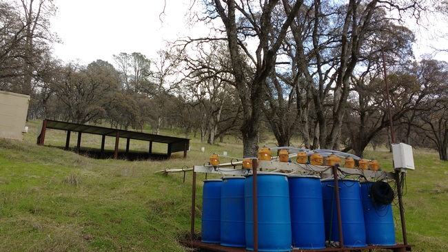
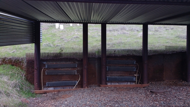
In the next two years we will test differently sized DNA tracers in a well-studied, small experimental watershed at SFREC to test their use for identifying hydrologic flow pathways. This study will provide invaluable information for the understanding of processes in hydrologic systems that can be used to improve hydrological and biogeochmical models used to predict transport of pollutants from hillslopes to streams. To achieve this broader goal, we will distribute 5 different DNA tracers at 5 different locations at incrementally increasing distances from a trenched hillslope at SFREC and measure the tracer breakthrough curves in a runoff collection system and the watershed outlet. The injection locations will be chosen to represent a range of specific soil-landscape characteristics such as places with relatively deep soils, shallow soils and areas where flow visually concentrates in the landscape. With the tracer experiments we also hope to quantify preferential flow pathways (e.g. macropore flow) in the watershed. Preferential flow is hypothesized to lead to shorter travel times of water and pollutants through soils and the vadose zone. Because of the variable size of our DNA tracers (0.1-0.4 µm) they could be particularly useful for quantifying macropore and preferential flow because we expect that a small fraction of the tracers will be filtered out in the soil matrix while the majority of the DNA tracers will move along the most rapid flow pathways. The results from these experiments, if successful, will provide improved estimates of the time it takes for water and solutes to travel through the soil to streams, which will allow us to more accurately predict the risk of pollution of streams and surface water bodies during storm events.
- Author: Alexandra Stefancich
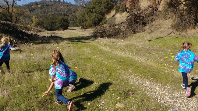
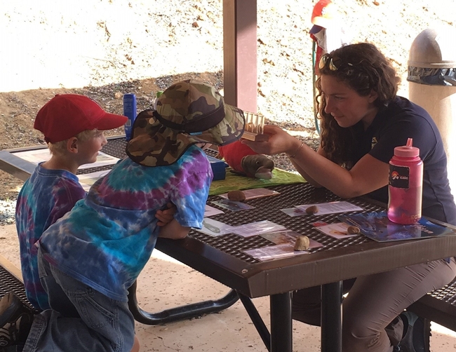
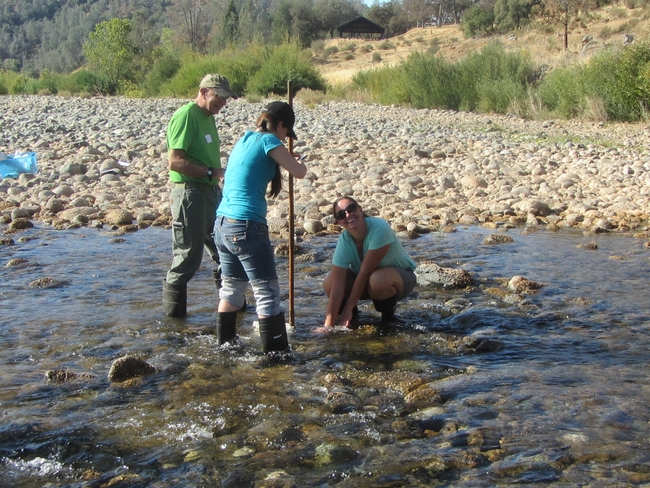
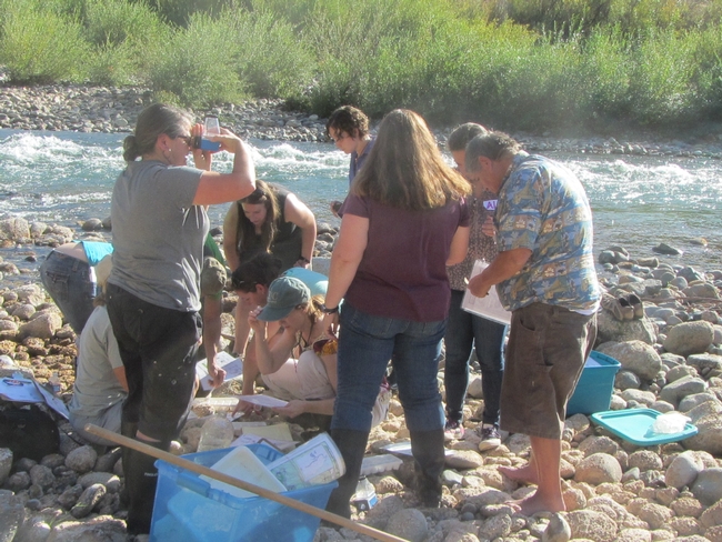
Kindergarteners from GVCS visited over two days for a fun-filled science field day. Students were able to hunt for benthic macroinvertebrates, look at decaying salmon carcasses, search for salmon redds (the nests that they build to lay their eggs), and understand the challenging lives that salmon have by acting out the stages of their life cycle. Students loved their field day, saying they "couldn't choose a favorite thing, it was all so fun!" Another student noted that "I am happy to be a human. Being a salmon seems hard."
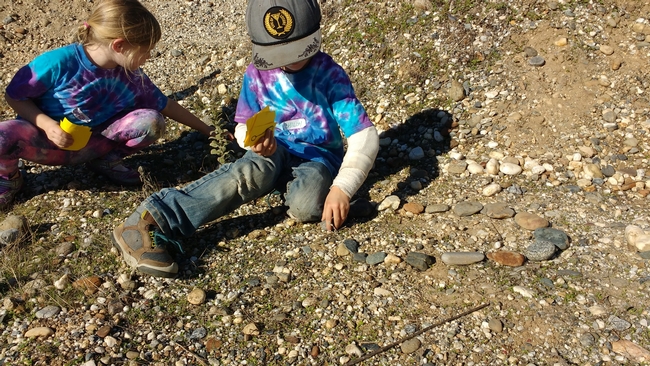
The opportunity to see these natural wonders first hand can have a lasting impact on student learning. SFREC is dedicated to increasing the number of hands-on science field days it offers to local students. This spring we will be offering field science trips for 4th and 5th graders where they will learn about a variety of science concepts and field science techniques. For more information about these field science days please contact Ali Stefancich at astefancich@ucanr.edu.
- Author: Alexandra Stefancich
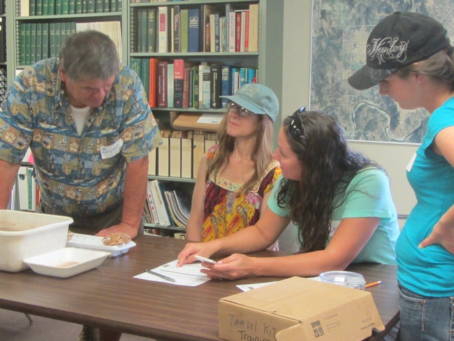
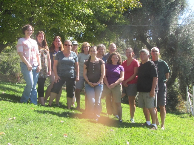
Look out for the return of FIT+ to SFREC in the upcoming year!


