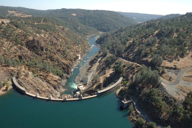
The parcel, which is adjacent to the UC Sierra Foothill Research and Extension Center (SFREC) in Browns Valley, will be managed by UC to protect its natural resources. The transaction closed January 29.
Located on the Yuba River, the Narrows property is 60 miles northeast of Sacramento. UC Sierra Foothill Research and Extension Center has more than 5,700 acres of rangeland for scientists to study critical rangeland issues.
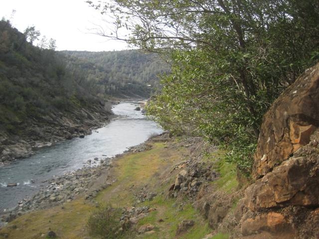
Cattle grazing is a major tool to manage vegetation on rangelands and to enhance rangeland ecosystems. Although the Narrows land is too steep for grazing, it can be used to study a suite of critical natural resource processes.
“This is the first of several land transfers from PG&E to a public agency in the Yuba River watershed and the only in Yuba County,” said Marty Coleman-Hunt, Bear Yuba Land Trust executive director. “It's the culmination of over a decade of planning and work with local conservation groups and the Stewardship Council. The permanent protection of this land below Englebright Dam is critical for the health of the important Yuba River salmon fishery and public recreation for the lower Yuba River.”
“In partnership with the many organizations that make up the Stewardship Council, PG&E is pleased to permanently protect the natural resources and beauty of the Narrows parcel and watershed lands associated with our hydroelectric system for the benefit of current and future generations,” said Mike Schonherr, manager of PG&E's Land Conservation Commitment Department.
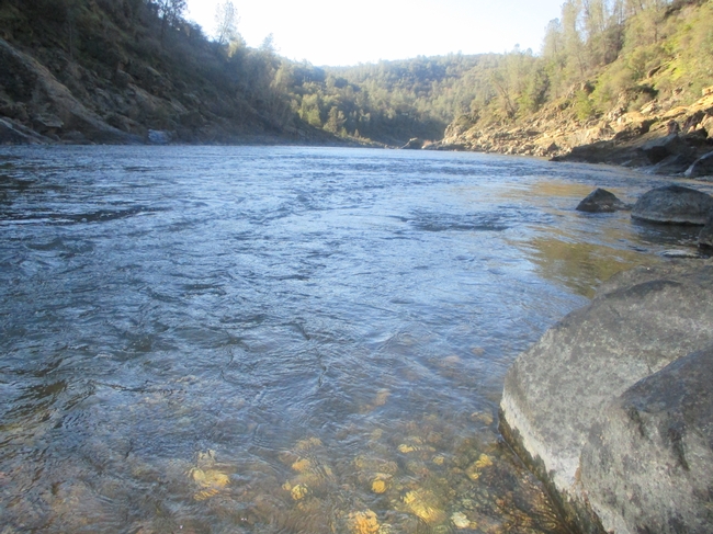
The center additionally offers many educational features including a series of nature trails and an education center on the Yuba River, which can be used by schools and community groups for outdoor education and outreach events.
Bear Yuba Land Trust is a non-profit, membership-supported group that promotes voluntary conservation of natural, historical and agricultural resources in the Bear and Yuba watersheds of the Sierra Nevada foothills. Each year, BYLT's stewardship team will monitor the conservation easement at the Narrows for conservation values like documenting the presence of native plants and animals. BYLT will hold the development rights forever, meaning the land will be permanently protected as a natural place and remain undeveloped.
For more information about PG&E's transfer of the Narrows property, visit http://www.stewardshipcouncil.org/land_conservation/planning_units/narrows.htm.
For more information about the UC Sierra Foothill Research and Extension Center, please visit http://sfrec.ucanr.edu.
- Author: Megan G Osbourn
On Wednesday, October 8th, over 125 high school students from FFA and 4-H programs in Butte, Nevada, Placer, Sutter and Yuba counties will gather in Browns Valley for the 1st Annual Beef & Range Field Day. This event, hosted by the Sierra Foothill Research and Extension Center (SFREC) will provide students with hands-on, practical experience with livestock production and natural resource management.
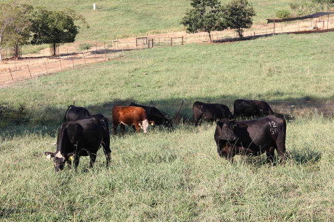
The future of agriculture and the way in which society views food production centers on youth knowledge and understanding. 4-H and FFA are excellent educational platforms for youth who are interested in raising livestock. SFREC staff and volunteers are excited to complement this training by connecting students with the concerns and issues commonly dealt with on working ranches.
A big thank you to the Beef & Range Field Day sponsors: Yuba-Sutter Farm Bureau and Farm Credit West.
- Author: Maddison Easley
- Contributor: Dustin Flavell
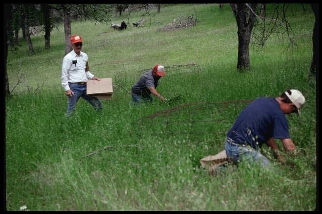
Rangeland specialist Jim Clawson first initiated the forage production data collection at UC SFREC in 1979. Past Director Mike Connor expanded the process with monthly (rather than seasonal) sampling of the usable forage in a particular area. Three plots were originally set aside to sample, but following multiple trials one specific plot was chosen. The same 1-acre grazed plot has been used for the past 35 years, as it is located at a median elevation with moderate canopy cover and a fairly representative soil of the entire ranch. 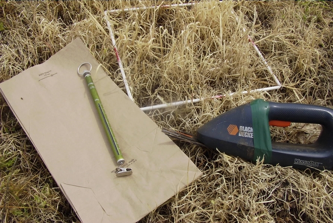
This year's forage production data was rather interesting. Late fall rains followed by freezing temperatures during germination, coupled with the severe winter drought, created dismal forage growth at the beginning of the yearly cycle (typically starting in December). However, the heavy rainfall experienced at the end of January and in the following months proved sufficient enough to produce nearly 80% of average forage production. As the person who has taken responsibility for keeping track of the forage production measurements and compilation, UC SFREC Superintendent Dustin Flavell has noticed an interesting trend; the total amount of precipitation is not always strictly correlated with the total pounds of forage produced per acre. “The right amount [of rainfall] at the right time and frequency will result in the most growth,” said Flavell.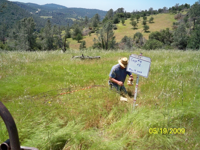
Producers may find it useful to monitor forage production and peak standing crop on their own ranches. While there are varying definitions of peak standing crop, at UC SFREC it is measured when a majority of the grasses begin to cure but do not reach full maturity (seeds ready for dispersal). Peak standing crop typically occurs early to mid May. Several publications are available from the research conducted on forage production and residual dry matter that go into more depth about the importance of monitoring grass growth. One particular publication offers a simple 6-step method for determining forage in pounds per acre.
With a new growing season just around the corner, be on the lookout for additional posts regarding forage production at UC SFREC.
Here are some additional links for more information about this topic:
http://californiarangeland.ucdavis.edu/Monitoring_Annual_Rangeland_Forage_Production/
http://ucanr.edu/blogs/blogcore/postdetail.cfm?postnum=14157
http://sfrec.ucanr.edu/Data/forage/
- Contributor: Ben Granholm
Initiated by Jerry Tecklin and Dr. Steve Beissinger in 2002, the Black Rail Project monitors the population dynamics and movements of two very secretive wetland birds, the Black Rail and the Virginia Rail. Over the past decade, researchers have examined a wide range of questions regarding these difficult-to-study birds including genetics, dispersal of young, West Nile Virus, territoriality, wetland type and vegetation preferences, and diet. Now in its thirteenth year, Nathan Van Schmidt is researching how the rails cope with drought, seasonal hydrology regimes, and the "rescue effect."
Check out the video for details!
Related Links:
- Author: Ben Granholm
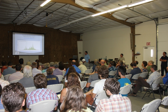
Nearly 60 individuals gathered at SFREC for the 6th Annual Lower Yuba River Accord Symposium on July 15th to dive into the history, management and future of the Lower Yuba River. Attendees listened to presentations and asked questions of those involved in the river's preservation.
Speaking on the goals of the River Management Team and the current Monitoring and Evaluation Program, Tom Johnson of the Yuba County Water Agency discussed efforts to develop optimum flow schedules, record temperature performance and ensure the smooth implementation of Yuba Accord operations.
Looking at the year-round temperatures of the Yuba River, Casey Campos and Duane Massa with the Pacific States Marine Fisheries Commission, talked of what these temperatures mean for the spawning and livelihood of fish inhabiting the river, particularly the habitats of the Chinook salmon. Campos explained that the Yuba River is among the coldest in the Central Valley.
Symposium coordinators, Gary Reedy of the South Yuba River Citizen League spoke on the need for habitat enhancement, giving a summary of previous actions, while Beth Campbell of the U.S. Fish & Wildlife Service (FWS) discussed enhancement initiatives implemented by FWS.
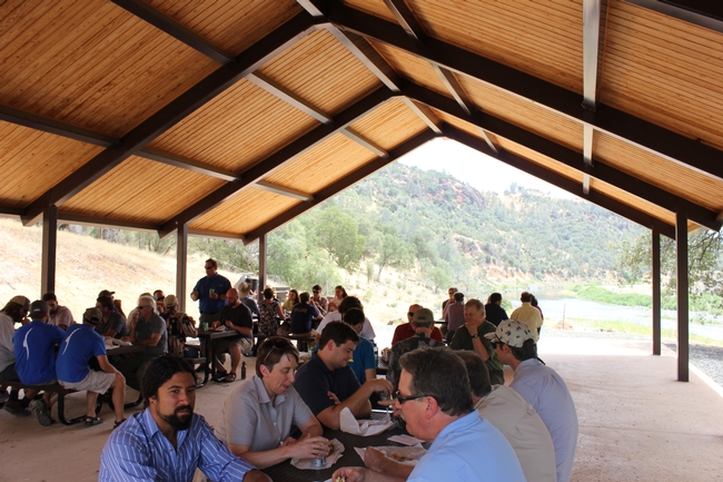
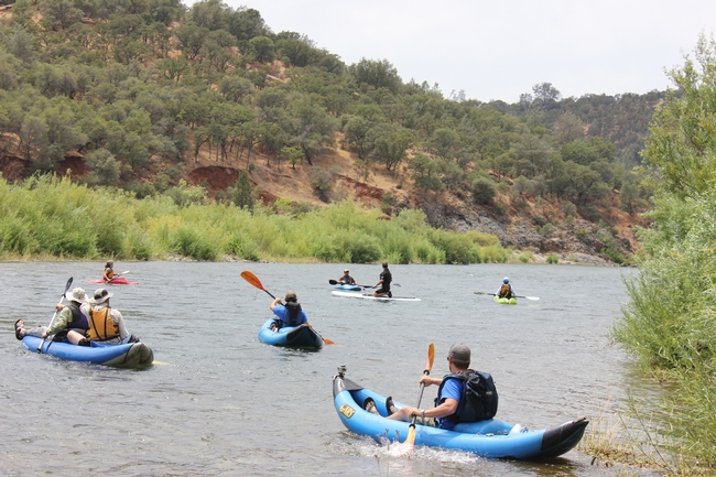
The symposium concluded with lunch at the Yuba River Education Center, followed by a float down the beautiful Yuba River.


