
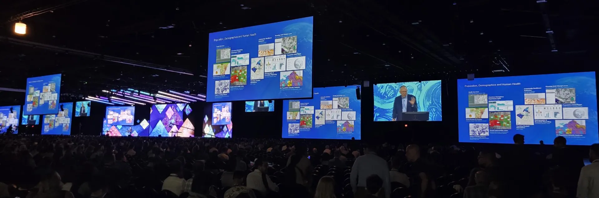
If you have never been to an ESRI User Conference, it is something to behold. This year will be the 30th anniversary of the conference held at the San Diego Convention Center (minus a couple years when it was held virtually during Covid) and there is expected to be over 18,000 people in attendance this year. Over the course of the week long event, each year there are a plethora of plenary and technical sessions touching on just about every one of ESRI’s vast constellation of geospatial tools, for mapping and remote sensing professionals alike to fill their minds with.
In particular, one of the fantastic things about each year’s User Conference is that this is where ESRI announces a load of new tools that are in the process of being releasing, in response to users' popular demand. Just an assortment of these new updates, which I thought were most exciting/useful, include:
In ArcGIS Pro
- There is now an Override Visibility setting, so you can add the same map to multiple map frames within layout, each with completely different scales and visibility settings, as opposed to needing to create a separate map for every call-out
- There are now new and easier selection options based upon feature attributes
- Features and annotations can be linked and edited simultaneously unlike before
- A Review Map tool is available, to give you map suggestions
- An AI scripting assistant in Notebooks can help you learn to and more easily create scripts, simply by using text prompts
- Classification options are ever expanding through the use of new and improved deep learning libraries
In ArcGIS Online
- There are new, and very cool, animated symbols to represent flow directions along line features
- You have the ability to track/identify maps utilizing a specific feature layer in AGOL
- Complex vector layers can now be rendered much faster
- Crowd-sourced street view images are available through Living Atlas (think Google Earth)
- An Arcade AI assistant is available for learning, creating and correcting Arcade codes
- AI Assistant can now help you create metadata for your features and maps
- Data Explorer AI for finding information in AGOL maps
This was just from the plenary presentations on Day 1. I can’t wait to see some of the technical sessions in the days to come; especially related to all of the new AI tools that could revolutionize the way things are done in the world of mapping.