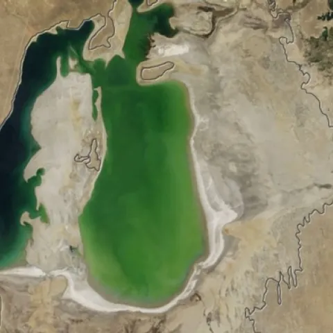
A series of satellite images from NASAs Terra satellite, which began capturing the images in 2000, has revealed the shocking decline of water levels in the Aral Sea. Terra satellite image, Aug. 15, 2001. (NASA)Terra satellite image, Aug. 19, 2004.
All students (grad, undergrad, recent graduates) interested in geospatial technology: the application for the NASA DEVELOP Program in Spring 2015 term opens this Monday, September 29th, and runs through November 7th.
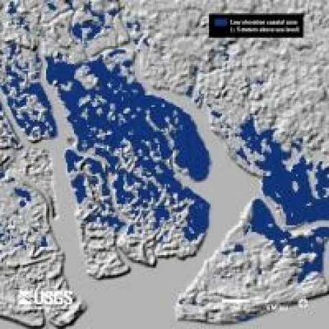
SRTM 3 Arc-Second (approx. 90m) SRTM 1 Arc-Second (approx. 30m) Landsat 7 December 17, 2000 Just in time for class on topography and rasters tomorrow: new high res shuttle DEM data is being released for Africa. The image above shows the Niger River Delta in 90m res, 30m res, and landsat.
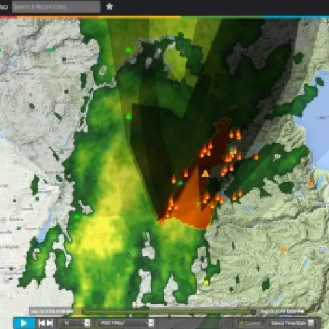
wunderground mapWundermap has a nice interface where you can add fires to your animated weather radar map. I caught this snap as our rare September storm (an atmospheric river apparently) moved over the King fire this afternoon.