IGIS Blog


Primary Image
image 18625

California Geoportal Offers One-Stop Shop for Statewide GIS Data

October 8, 2013
By Maggi Kelly
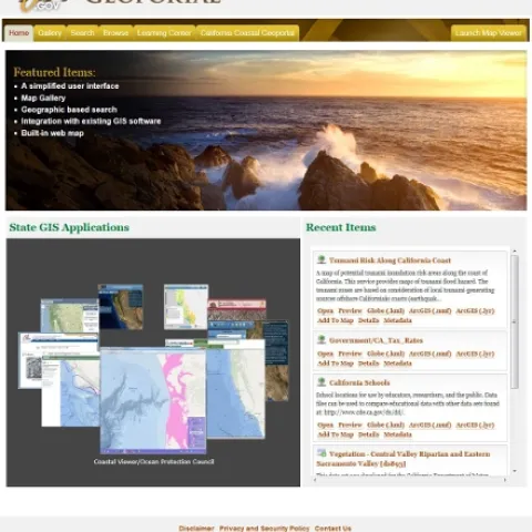
The California Geoportal, officially launched in March 2013 (see here for related launch press release), augments and in some ways replaces the original Cal-Atlas statewide GIS data download webpage with a more simplified, smooth, and more intuitive website for all GIS related data in the state.
View Article
Primary Image
image 18620

New 2012-2013 SOD Confirmations Added to OakMapper!

October 8, 2013
By Maggi Kelly
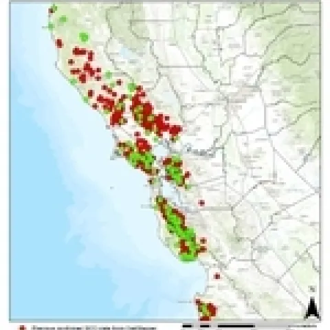
New 2013 SOD Blitz and 2012-13 UC Davis DataNew confirmed cases of Sudden Oak Death (SOD) (P. ramorum) have been added to OakMapper, a project that tracks the spread of Sudden Oak Death from data collected by citizens and organizations.
View Article
Primary Image
image 18577

New VTM photo reshot from Joyce - check it!

October 7, 2013
By Maggi Kelly
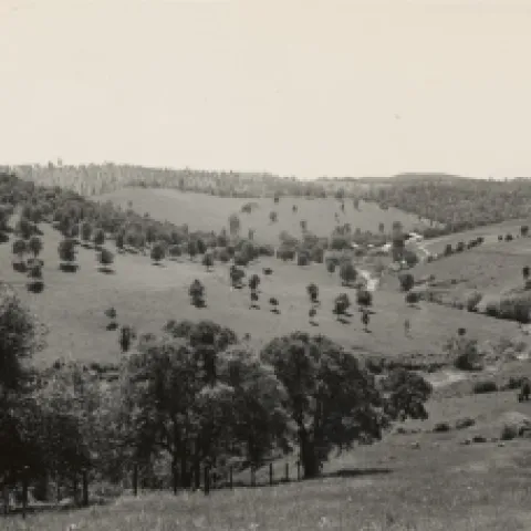
The latest from Joyce. This photo is "looking southwest from point on highway between Drytown and Amador. Cattle ranch headquarters surrounded by grassland without a brush problem. Amador Co.
View Article

Photos from the American Fire

September 14, 2013
By Maggi Kelly
These are courtesy of Christopher Dow, crew leader for our SNAMP field work. They were in the Last Chance area gathering post-treatment data when the American Fire started. They were able to collect all the field data we needed for SNAMP before leaving. Which is great news for SNAMP.
View Article