


- Author: Nikolai Schweitzer


- Author: Nikolai Schweitzer


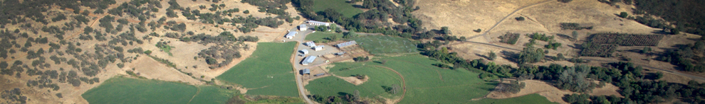
UC ANR Sierra Foothill Research and Extension Center has been collecting and recording rangeland herbaceous dry matter yield values for close to 40 years. Sierra Foothill REC is among a rare and prestigious class which have consistently sampled Northern California rangeland forage (lbs/ac). Establishing, developing, and consistently producing reliable herbaceous dry matter yields allows land resources managers, ranchers, and private-landowners to determine the effectiveness of management practices, establish a record of range conditions, document the effect of livestock grazing in key areas, and establish “trend monitoring” (trace changes over time). Also, the utilization of historical and current herbaceous fuel growth data /analysis and a public educational herbaceous fuel growth database allows local, state, federal, and tribal fire management agencies to accurately predict fire behavior and danger, mitigate unprecedented catastrophic wildland fires, update and maintain vegetation and fuels maps, and facilitates the development of timely herbaceous fine fuels data analysis and predictive fuel modeling.
Academics and staff at Sierra Foothill REC utilize the rangeland forage data in various ways. Provide reliable, consistent forage data to the public, inform researchers of past and present rangeland forage conditions, set stocking rates/densities for SFREC research cattle and the UC Davis Animal Science cattle herd, and assist local fire agencies with resource allocation.
Last year, several replicated sites within the SFREC Range Forage Production Monitoring plot had soil moisture and temperature sensors installed, along with a simple weather station (precipitation and air temperature). After comparing last year's data with our current year, several notable changes are mentioned below.
1) Precipitation has increased (Nov. 1 to Feb. 1) by 2.16 inches compared to last year.
2) Canopy soil temperature has increased by 3 degrees or more (Nov. & Dec.) compared to last year.
3) Rangeland forage production has decreased when compared to last year and the long-term historical average.
This year, a supplemental monitoring plot was added to SFREC's long-term forage monitoring program. Located within a few hundred yards of the “SFREC Range Forage Production” plot, this “unmanaged” forage monitoring plot has not been grazed for 7 years. SFREC staff are sampling lbs/acre, grass height, and the ratio between live vs. dead. Producing and publishing this information on a monthly basis will provide our local fire agencies with advanced herbaceous fine fuels growth data. Sampling and publishing the differences between the “managed” and “unmanaged” rangeland forage plots will generate questions/answers on why, what, where, when, and how.
Your comments and opinions are welcome. It would be insightful and educational to learn what other Northern California regional rangeland oak woodland pastures are producing.

 vs. CIMIS (Sc7)")


- Author: Nikolai Schweitzer

Sierra Foothill REC has been collecting and recording rangeland forage production data since 1979. Every year when rangeland forage production values are recorded, explanations as to the results of pounds per acre grown are based on past forage production values & statistics, plus a CIMIS weather station which resides at 660' elevation; whereas, the Forage Plot lies at 1470' and 1.3 miles away from #084 Browns Valley CIMIS Station. SFREC has recently installed replicated soil temperature sensors (5-10 cm in depth), soil water content sensors (5-10 cm, 25-35 cm, & 56-65 cm in depth), air temperature sensors, and a precipitation gauge. Two replicated soil sensor stations were each placed under canopy and in the open. Illustrated below are tables and graphs depicting rangeland forage production values and trends, newly installed soil sensor data (Open and Canopy), and a dramatic comparison (Forage Plot vs. CIMIS) in precipitation values.

There were two major developments during this rangeland forage production season (Nov 1, 2017 thru March 1, 2018). The first being that we had the highest level of forage production for the month of February (1637 lbs/ac) in our recorded history. The warm February we had may be a contributing factor to this. The other major development is the significant differences in monthly/total precipitation values between the CIMIS and the forage plot.
If you have any comments, please leave your reply directly below.


