UC Cooperative Extension is excited to be offering a GIS for Foresters and Natural Resource Managers hands-on training in Santa Cruz on July 20th and 21st.
This two-day technical workshop will be geared toward practitioner-GIS users that need a refresher and hands-on, expert guided assistance in the use of GIS and local natural resource data in their planning and decision making. The course uses exercises based on forest and natural resources management applications and includes topics on cartography, data management, ArcGIS Online (AGOL), and participant-driven topics.
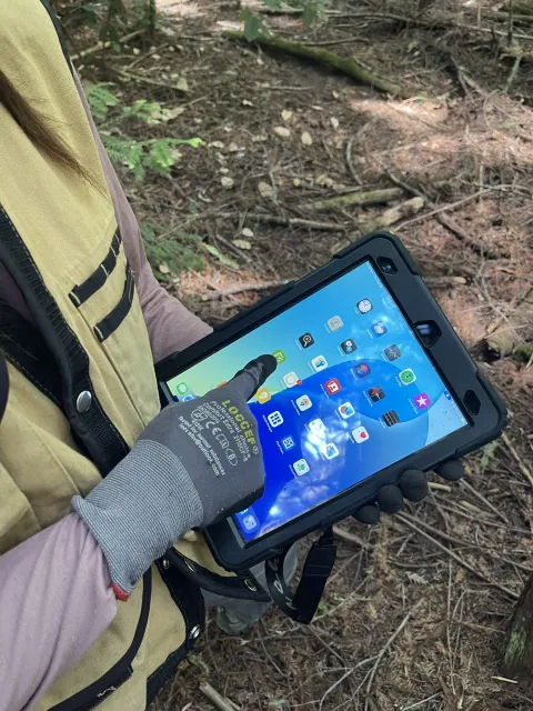
In addition to hands-on exercises, the workshop will include a demonstration of the use of terrestrial lidar in forestry, share new GIS extension tools developed for the Santa Cruz Mountains, and provide an open workshop period on the second afternoon. Participants are encouraged to bring their own data and hardware to work on personal projects with UC experts from our Informatics and GIS Program (IGIS).
Registration required -- space is limited to 20 students! Please feel free to share this opportunity with your staff and colleagues.
SIGN UP HERE
WORKSHOP DETAILS
PURPOSE
Guided training to learn about managing and editing data, best practices in cartography, and spatial analysis. Lectures and demonstrations are geared towards forest and natural resource management applications.
WHO
Practitioner ArcGIS Pro users interested in better utilization of GIS in their forestry and natural resources planning.
WHAT TO BRING
Computers are provided, but space is limited. If you have a laptop with ArcGIS already loaded, participants are encouraged to bring personal laptops and data to work on during open sessions for specific assistance.
WHEN & WHERE
July 20th and 21st (8:30a - late afternoon)
University of California Santa Cruz
Center for Integrated Spatial Research Teaching Facility, ISB 486
COST
$60, includes lunch.