
- Author: Jeannette E. Warnert
In the late 1800s, when automobiles started replacing horses in the United States, farmers were likely pondering how the new technology could be adapted for agricultural production. Before long, tractors revolutionized the industry.
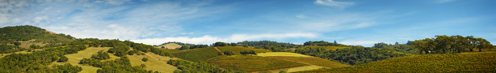
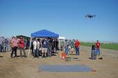
A similar scenario unfolded in June at a UC Cooperative Extension field day in Merced County. Farmers, scientists and entrepreneurs gathered at Bowles Farm in Los Banos to learn how drones may be deployed on farms of the future to improve irrigation, fertilization and pest management practices and monitor the crop to maximize yield and profit.
Instead of driving a pickup truck around the perimeter of the field, pushing through hip-high row crops, or...

- Author: Kim Ingram
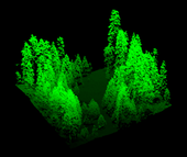
‘Visualizing’ forests from computer and other technological data is common practice in the field of forestry. Forest visualization is used for stand and landscape management and to predict future environmental conditions. Currently, most visualization software packages focus on one forest stand at a time (hundreds of acres), but now we can visualize an entire forest, from ridge top to ridge top. The Sierra Nevada Adaptive Management Project (SNAMP) Spatial Team principle investigators Qinghua Guo, associate professor in the UC Merced School of Engineering; Maggi Kelly, UC Cooperative Extension specialist in the...

