
- Author: Sean Hogan
- Author:
Ben Satzman
- Author: Maggi Kelly
July 2021 marks the fifth anniversary of Drone Camp, and thanks to an all-star lineup of presenters and instructors and a fantastic and diverse group of over 255 attendees from all over the world, it was a massive success this year. Initially launched in 2016 by the UC ANR, IGIS Statewide program, DroneCamp has now evolved into a multi-campus and industry collaboration, with a network of drone experts hailing from UC ANR, UC Santa Cruz, UC Berkeley, UC Merced, UC Davis, CSU Monterey Bay, and the Monterey Bay Drone Automation and Robotics Technology corporation. From 2016 to 2019, this event was held in-person at Davis, San Diego, and then in Monterey, CA.; however, in 2020 it was moved online due to COVID-19. The move indoors, to discuss a very outdoor-oriented topic, came with some challenges. We had to shelve our important (and fun) hands-on equipment and flight training, for example. Yet it had rewards. We were able to reach a more diverse and a greater number of participants, and widen the scope of content. Ultimately, 2020 was a great success, but in the process we recognized that it could be even better with additional help from our network of drone expert friends from around the state.
Like last year, we came together online for DroneCamp 2021 in July. Over 255 people joined from around the world to learn about theory, application, regulation, and data processing. We learned about the practical aspects of maintaining safety while flying, we took deep dives into various software workflows, and explored agricultural, forestry, and vegetation mapping examples. This year we hosted 5 Plenary sessions, and had some electrifying plenary talk sessions from cutting-edge scientists from around California: Crashing drones! Precision Agriculture! Citizen Science! Mapping aquatic environments!
Because the overall objective of DroneCamp remains to provide the most practical and comprehensive learning experience possible for attendees, we are working on an in-person, hands-on training day that is being scheduled for October, to be held in Monterey/Marina California. And, as the threat of COVID-19 subsides, additional in-person training sessions will be added around the state of California in the coming year.

DroneCamp Overview:
DroneCamp is designed for a wide range of skill levels and interests, for those who are interested in using drones for anything other than non-recreation use (calling for a part 107 remote pilot's license), from complete beginners with little to no experience in drone technology, to intermediate users who want to learn more advanced data processing and analysis. Between presentations on contemporary applications of drones in environmental and agricultural research, and hands-on data processing and analysis exercises, attendees have the opportunity to fully immerse themselves in the following topics:
-
Flight Skills: Safe Launch and Landings, Basic Operations, Traversing and Avoiding Obstacles, Night Flying
-
Safety and Regulations: Safety and Regulations Overview; How to be a Good Visual Observer; Operating in Controlled Airspace
-
Hardware: Sensors, Platforms and Field Accessories
-
Data Collection: Mission Planning; High Precision Mapping
-
Data Processing: Stitching Drone Images with Pix4D, Agisoft Metashape, ArcGIS Pro, and OpenDroneMap; Analyzing Processed Drone Data in QGIS and ArcGIS Pro
-
Data Analysis and Management: Vegetation Analysis, Vegetation Analysis and Classification in ArcGIS Pro;Analysis of the Intertidal Zone; A case study of data management, from collection to storage and sharing of data outputs.
It was super fun and rewarding, and a great success for ANR and all the other collaborators. We built networks, increased collaboration, learned some very cool technical stuff, and got updated on current regulations, including the fact that you can now renew your 107 license easily here.
Some inspiring quotes from anonymous attendee reviews:
I was so appreciative of the extremely high caliber faculty/instructors that were recruited to give presentations, demos, and use of software. You all worked so well together to impart different pieces of expert knowledge. You all are brilliant and I'm inspired!!!
Loved it. We started off heavy which blew my mind but all the talks were so informative and fascinating. Really appreciate the diverse group of people you gathered together. Just wish it was in person! I would love to meet everyone.
Excellent presentation that allowed those of us with ArcMap experience to see the similarities and differences offered by ArcGis Pro. Again, a wonderful presentation (by a professional) that accounts for all the practical steps involved with data manipulation rolled into a final product.
Once I read through my notes, look at my screen captures and watch some of the presentations again, I will be able to structure my drone classes for my students. I'm developing a drone program from scratch for middle and high school students at a local charter school.
Consider signing up for the in-person training in October, and keep DroneCamp 2022 in your sights! Further information will be coming soon to the DroneCamp website, https://dronecampca.org/
- Author: Andy Lyons
- Contributor: Jacob Flanagan
- Contributor: Sean Hogan
- Contributor: Maggi Kelly
At the recent conference of the American Association of Geographers (AAG) in Washington DC, IGIS was recognized for its work in developing open source data management tools for drone data. The AAG is the largest association of geographers, GIS specialists, environmental scientists in the world, and its annual conference attracts over 8,500 people and over 6,900 presentations. IGIS researchers Andy Lyons, Jacob Flanagan, and Sean Hogan won second place in a poster competition sponsored by the AAG Remote Sensing Specialty Group and photogrammetry company Pix4D.

Data management involves protocols and file transfer utilities to help you organize data, assess quality, create backups, find and retrieve files, and reproduce workflows. Photogrammetry programs are brilliant at stitching photos into beautiful high resolution imagery, but they don't offer many tools for managing data before or after the processing. This is the gap IGIS is addressing.
IGIS has been working on data management tools for the past couple of years to help us manage the dozens of drone projects we conduct each year on behalf of UC researchers. In keeping with our public mission and research innovation focus, we use open source programming platforms such as Python and R and share our tools on GitHub so anyone can use them.
The poster presented at the AAG conference showcases 5 data management projects. The foundation of all our projects is a directory structure and file naming protocol that encompasses all the types of data in a drone project, including images, ground control points, GIS layers, documentation, intermediate files, and final outputs. Building upon this, the uavimg package for R creates offline HTML catalogs and maps of images, allow for quality control checks in the field and a master catalog to help an analyst find the right set of images for a project. The IGIS Drive Monitor, written in Python, is designed to run on a laptop in the field and automates the process even further by monitoring a USB drive and copying files into the right place automatically. The IGIS Pix4D Controller, also written in Python, runs on a server and automates the next step of the process, launching the Pix4D stitching software when a new set of images is detected, creating a new project, and initiating the stitching process. Finally, the IGIS Drone Data Management Logbook, still being developed, combines functionality of the previous utilities with additional visualization tools for quality control.
Our drone data management utilities are still under development, but they are available currently available for testing (see GitHub links in the poster). If you'd like to be a beta tester, please let us know!). Later this year, we plan on holding a webinar describing how to use these tools and invite feedback from users. Open source software is designed for collaboration, and our ultimate hope is to collaborate with other drone users and programmers facing similar needs. In the meantime, it's great to be recognized by leading experts in the field.
Open Source Tools for Drone Data Management poster, AAG 2019
- Author: Andy Lyons

From April 9-12, 2019, we'll be teaching the second annual Drones for Biologists workshop at the gorgeous Hastings Natural History Reservation in collaboration with The Wildlife Society Western Section and the UC Natural Reserve System. This training event specifically caters to the interests of natural resource managers, and includes special sessions on using drones for wildlife research, UAV regulations from the US Fish Wildlife Service, and updates from the CA Dept of Fish and Wildlife. New for 2019, participants will have an option to stay for an extra two days to conduct a mentored research project (can you detect turkeys with drones?), that we plan to collectively write up and submit for publication. If you've never been to Hastings, it's a beautiful 2,500-acre oak woodland reserve in the Carmel Valley with onsite accommodation and training facilities. Registration is now open, with discounted rates for TWS members and UCANR employees.


We're thrilled to be providing these two trainings on drone data collection for the public, and even more thrilled to be working with collaborators who complement our areas of expertise with deep dives into technology developments, research, and policy. To use drones effectively involves navigating some deep waters, these workshops will save aspiring drone users vast amounts of time, money and painful mishaps. Hope to see you there!

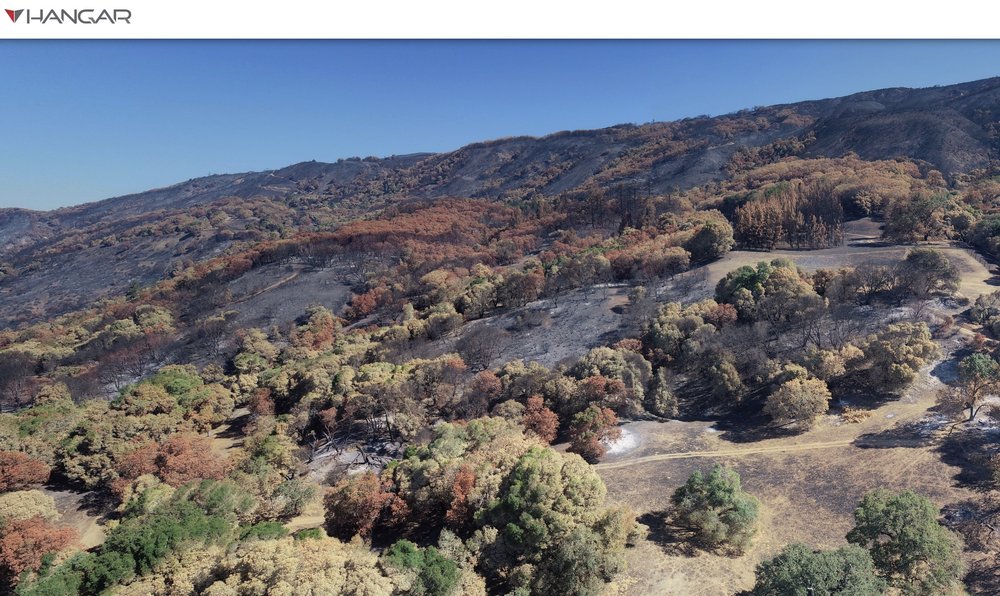
The River Fire began July 27, 2018 at 1pm on Old River Road in Hopland. By the evening it had spread, and was threatening numerous buildings in the area. We have a ANR Research and Extension Center (HREC) there, and Shane Feirer from IGIS lives and works here. Evacuations were ordered quickly, and down in the bay area we all held our breath hoping the fire wouldn’t harm people or animals or consume the HREC buildings. By the time it was contained (as part of the Mendocino Complex), it had burned 48,920 acres. We’ve been flying drones over HREC for awhile, and the last month we did more drone flights to map the post-fire landscape. We flew some Hangar 360 flights with a DJI Phantom to get some sweet overviews of the scene (example1, example2, example3), and flew much of the area with our eBee on the first mission and Matrices on the second mission with both multispectral and RGB cameras.
These pics below compare the eBee imagery (2cm) with Planet imagery (3m).


These are pics of the eBee (far left) and the Matrice (far right) getting ready to fly into the blackened landscape, and some snaps from the Hanger pics.


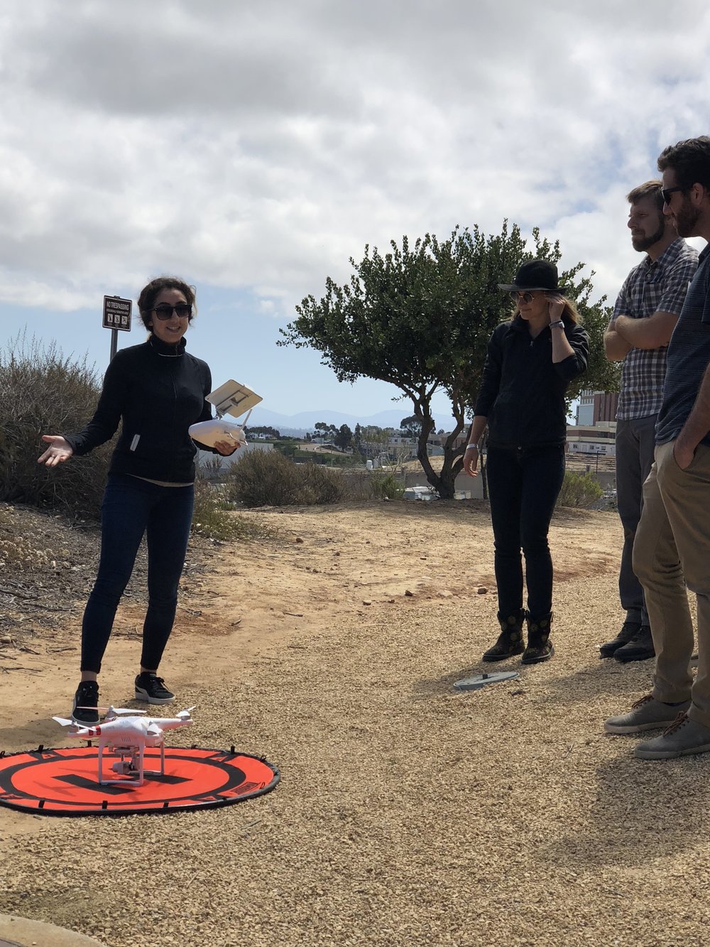
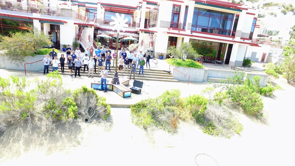
We've just wrapped up #DroneCamp2018, hosted at beautiful UC San Diego.
This was an expanded version from last year's model, which we held in Davis. We had 52 participants (from all over the world!) who were keen to learn about drones, data analysis, new technology, and drone futures.
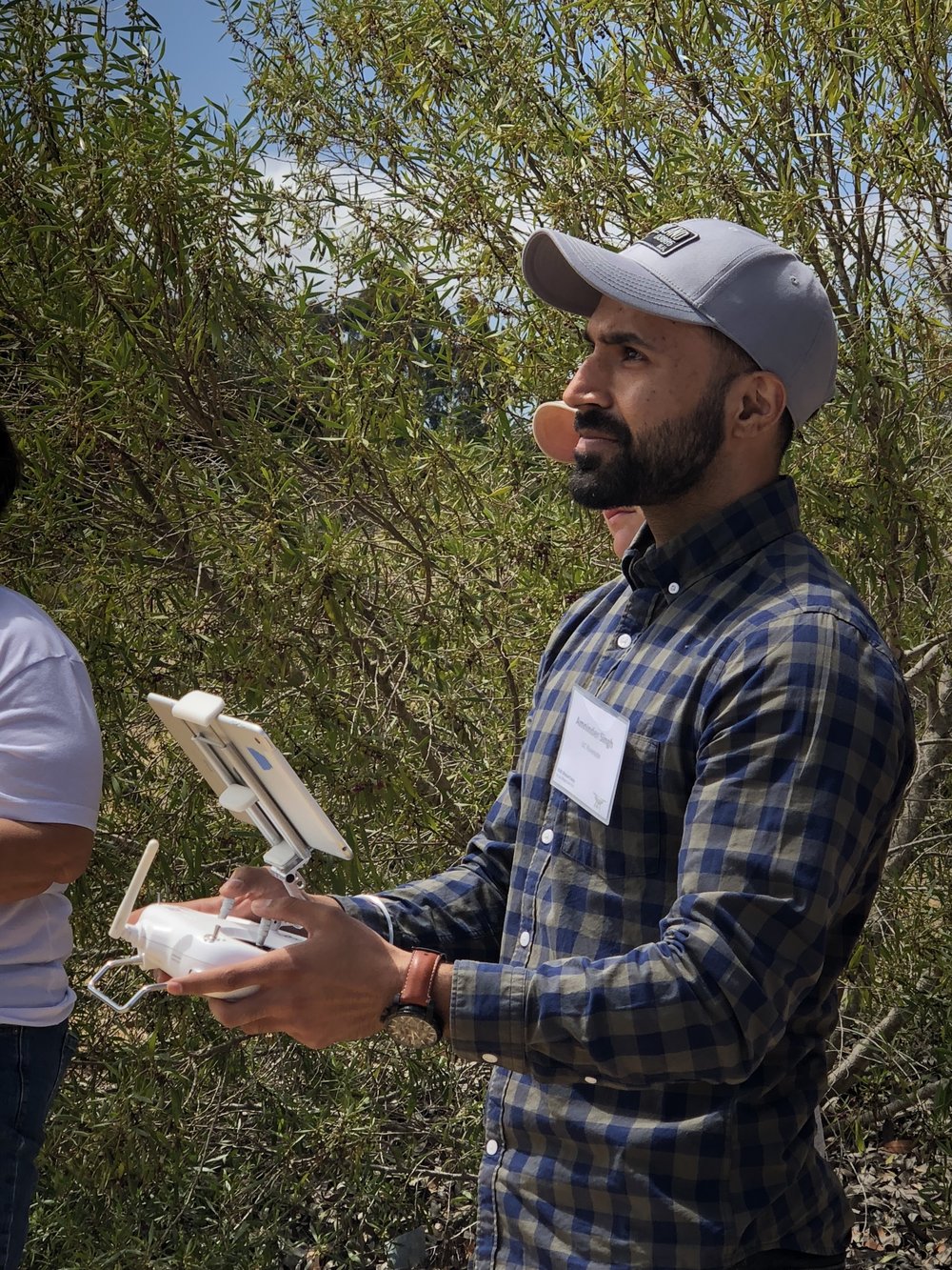
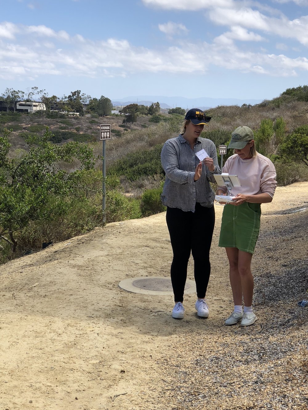
Day 1 was a flight day from half our participants: lots of hands-on with takeoffs and landings, and flying a mission;
Day 2 covered drone safety and regulations, with guest talks from Brandon Stark and Dominique Meyer;
Day 3 covered drone data and analysis;
Day 4 was a flight day for Group 2 and a repeat of Day 1.
We had lots of fun taking pics and tweeting: here is our wrapup on Twitter for #DroneCamp2018.


