UC ANR is committed to providing an accessible and inclusive web experience for all users. If you encounter an accessibility barrier or need content in an alternative or remediated accessible format, please contact anraccessibility@ucanr.edu.
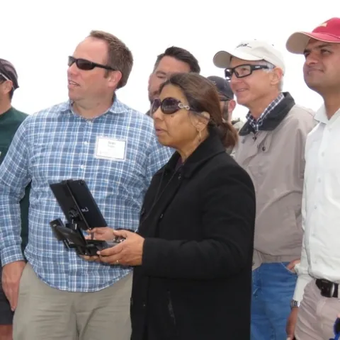
To support broad participation for next month's DroneCamp in Monterey, IGIS has launched the DroneCamp Scholarship Program. DroneCamp is an intensive three-day workshop that covers everything one needs to know to use drones for mapping and data collection.
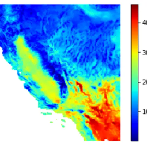
Have you ever wanted to work with climate change data? Last week I took a workshop from the UC Berkeley Geospatial Innovation Facility (GIF) titled "Working with Climate Data (link).
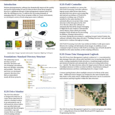
At the recent conference of the American Association of Geographers (AAG) in Washington DC, IGIS was recognized for its work in developing open source data management tools for drone data.
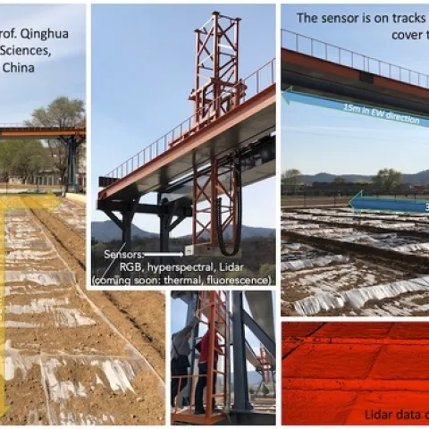
Sabbatical report April 2019 I've been on sabbatical now for a few months, and it's time to report. I've been working on updating all my course materials: slides, reading and labs, for the fall. This has been a blast, and a lot of work! Especially the labs.