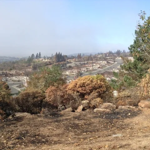
Recently I was fortunate to work with the IGIS team in Santa Rosa and Sonoma to explore why so many homes and buildings were lost in the October Tubbs and Nuns Fires.
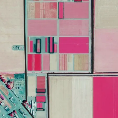
The National Agriculture Imagery Program (NAIP) is a USDA service which has been collecting aerial imagery once a year during the growing season for the entire continental US.
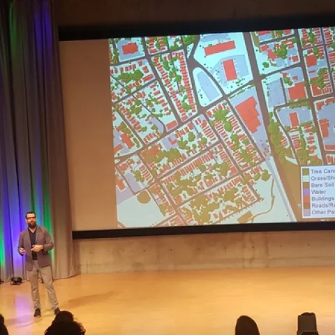
ESRI held its first Imagery Education Summit' in Redlands California this week, and even though I came with high expectations, I was still pleasantly surprised with the caliber of the summit's presentations.
Last week IGIS was very pleased to partner with CERES Imaging Inc. (http://www.ceresimaging.net/) to provide a workshop on GIS and Remote Sensing for Crop Agriculture, in Davis CA.