UC ANR is committed to providing an accessible and inclusive web experience for all users. If you encounter an accessibility barrier or need content in an alternative or remediated accessible format, please contact anraccessibility@ucanr.edu.
A Unique Data Science Summit Yesterday, several of us in the IGIS Program participated remotely in a very interesting summit on data science in agriculture.
Today was WebGIS and the Geoweb (I know, we could do a whole semester), and rounded up some nice resources. Open Street Map interactions (from Vanessa):Here is Overpass Turbo, the OSM data filtering site. https://overpass-turbo.
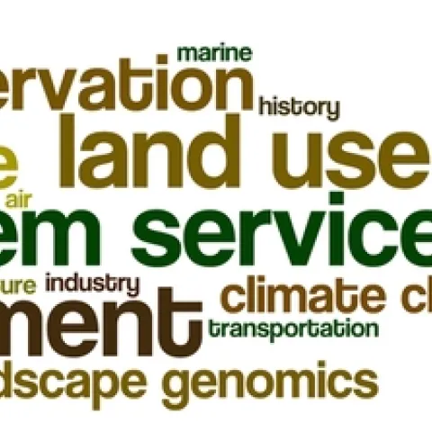
Here are the tag clouds from this year's GIS class: the why, how and what of our upcoming semester's projects. Word clouds from Wordle. The Why: what are the key problems class members want to focus on... The How: possible methods we will use... The What: some of the datasets that might be used...
Between the years 1949-1979 the Pacific Southwest research station branch of the U.S. Forest service published two series of maps: 1) The Soil-Vegetation Maps, and 2) Timber Stand Vegetation Maps.