Calling all water resource managers and researchers! Do you have spatial data of water stocks, water infrastructure, or water usage? Do you have a story to go with it? Then you have everything you need to submit a map idea for an exciting open-source atlas project.
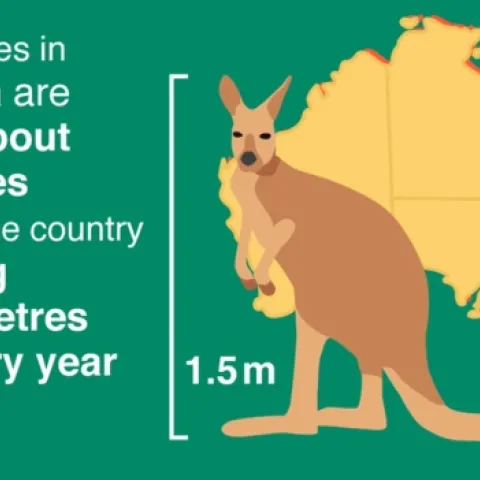
In the US, we have revised our geodetic datum over the yearrs. Most famously the switch from NAD27 to NAD83 as instrumention necessitated more measurements and resulted in a more accurate model. But in Australia, they are creating a new datum because the continent is MOVING 7cm a year.
Bay area R users were lucky to have to have the annual useR! conference in their back yard this week. Stanford hosted this year's conference, which is the largest R meeting in the country featuring four days of workshops, keynotes, and presentations.
Day 3 of the ESRI User Conference, new tools, new story maps, and new ways to work with data. New Tools, ESRI is supporting new tools with the python and R programming languages.