UC ANR is committed to providing an accessible and inclusive web experience for all users. If you encounter an accessibility barrier or need content in an alternative or remediated accessible format, please contact anraccessibility@ucanr.edu.
The following management recommendations consider the SNAMP focal resources as an integrated group. These recommendations were developed by the UC Science Team working together.
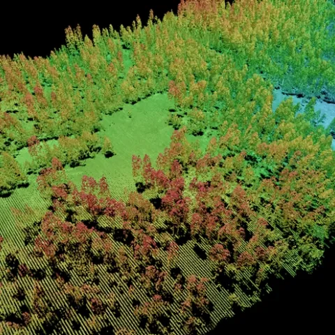
The SNAMP UC Science Team worked together to develop 31 integrated management recommendations at the conclusion of our SNAMP project. The following deal specifically with lidar and vegetation mapping. All 31 can be found here. All our SNAMP spatial publications can be found here.
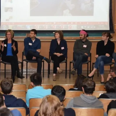
Panel of mapping innovators @ GIS Day 2015 The GIF began in November 2015 on a wave of excitement around geospatial technology. In the months leading up to our first GIS Day in 2005, Google Maps launched, then went mobile; Google Earth launched in the summer; and NASA Blue Marble arrived.