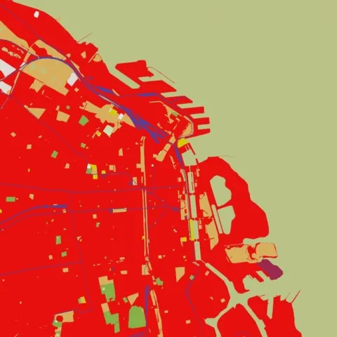
Great commentary from Martin Isenburgon of LASTools fame on releasing data with false precision. This deals with the new open data release by the Environment Agency in England.
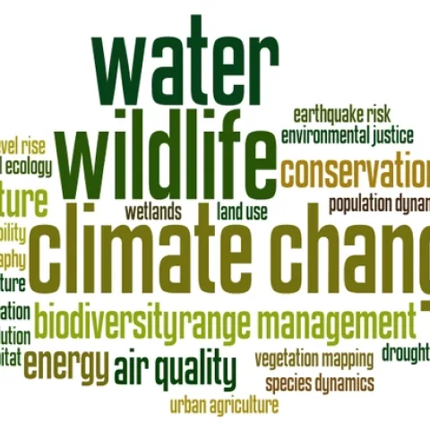
Here are the tag clouds from this year's GIS class: the why, how and what of our upcoming semester's projects. Word clouds from Wordle. The Why: what are the key problems class members want to focus on... The How: possible methods we will use... The What: some of the datasets that might be used...
Here in the Kelly Lab we talk a lot about effective ways to visualize data. How do we show the true weight and impact of those data we work with? How do we communicate uncertainty? I think this fellow Neil Halloran did a pretty great job with WWII.
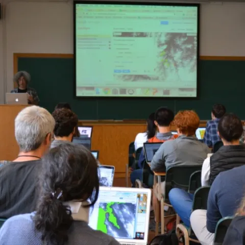
Students, researchers, mappers, and big data enthusiasts took place in an exciting 2 day Google Earth Engine workshop this last week hosted by the GIF and the Google Earth Engine Team.