Workshop: HOW TO CREATE MAPS FOR EBOLA's FIRST RESPONDERS which are used by Doctors Without Borders, Red Cross, WHO and others. The workshop quickly shows how to easily use a humanitarian mapping freeware so anyone can contribute to this global mapping collaboration.
Patty Frontiera from the D-Lab went to the Geospatial Computational Social Sciences conference at Stanford on Monday 10/20 (https://css-center.stanford.edu/geospatial-computational-social-science-conference). Here is her summary: 1.
swissnex San Francisco 730 Montgomery St., San Francisco, 94111 - See more at: http://www.swissnexsanfrancisco.org/event/planetmapping/#sthash.G5iIInIJ.dpuf swissnex San Francisco 730 Montgomery St., San Francisco, 94111 - See more at: http://www.swissnexsanfrancisco.org/event/planetmapping/#sthash.
Technical Tidbits From Spatial Analysis & Data Science. This nice blog highlights many technical aspects of web mapping: Leaflet, D3, R... lots of neat examples.
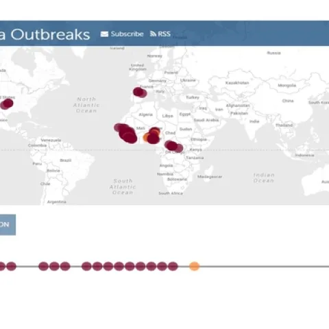
HealthMap, an automated electronic information system that monitors data from electronic media sources (e.g. social media, government websites, physician social networks) in order to visualize and foster an understanding of infectious disease outbreaks around the world.