IGIS

Primary Image
image 17829

Update on the American fire

August 26, 2013
American fire as of 8-25-13.Fire Status from Incident Report: The south, west and north perimeters of the fire remain in patrol status. This is due to completion of fire lines and minimal to no hot spots being detected inside the fire line in these areas.
View Article
Primary Image
image 17806

Update on the American fire

August 23, 2013
As of 8-22-13 - American fire moves into treatment area.Fire Status from Incident Report: Crews continued to mop up on the west and north sides ofthe fire to prevent any fire from potential hotspots from crossing established containment lines. This area will be patrolled by airresources today.
View Article
Primary Image
image 17728

American fire burns near SNAMP sites

August 20, 2013
The American fire is burning into our SNAMP study areas as of yesterday. Here is a snapshot of our study site and the fire perimeter (red) as of yesterday. SNAMP control (yellow) and treatment (purple) watersheds are shown.
View Article

IGIS Retreat 2013

August 7, 2013
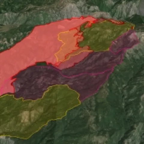
We just concluded our first IGIS Program all-hands-on-deck retreat. We evaluated our program components and made huge progress on planning for the future. Key in our discussion was GIS Training for ANR, and linkages with the ANR Research and Extension Centers (RECs).
View Article