UC ANR is committed to providing an accessible and inclusive web experience for all users. If you encounter an accessibility barrier or need content in an alternative or remediated accessible format, please contact anraccessibility@ucanr.edu.
The Fall 2020 UC Berkeley's Rausser College of Natural Resources Sponsored Project for Undergraduate Research (SPUR) project Mapping municipal funding for police in California continued in Spring 2021.
Like many things that start small and then go viral, the growth of DroneCamp has been welcome but challenging to sustain. The situation just got a whole lot better thanks to a grant from the UC Vice President for Research and Innovation.
For the past several years, IGIS has been offering online Office Hours for the ANR community on a range of topics related to geospatial science and technology. In 2020, we increased our Office Hours appointments to 4 hours a week.
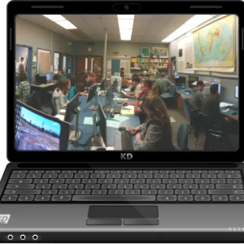
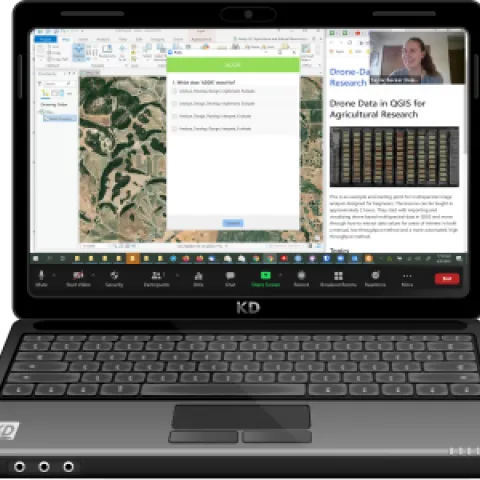
The 2020 COVID19 pandemic changed the way educators work across the board. Like many groups, we had to quickly retool our geospatial workshops from a largely in-person format to online delivery.
In Part I of this blog post, I reflected upon some of the lessons and conversations from 2020 as we migrated our geospatial technology workshops from in-person to online formats.