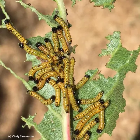
What an amazing photo! Vacaville resident Cindy Carmouche, a nurse at Kaiser Permanente, captured a photo of early instar redhumped caterpillars eating her French prune leaves. One look at this photo and you will marvel at some v-e-r-y hungry caterpillars.
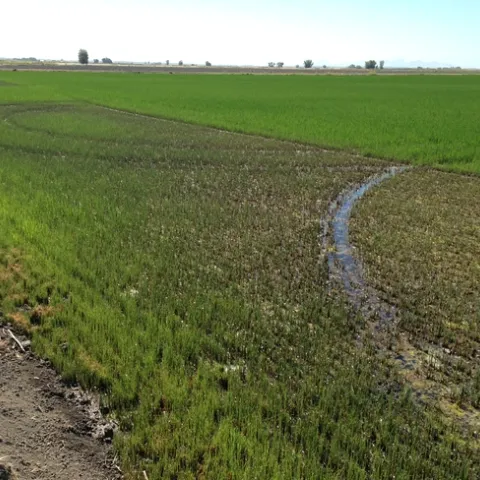
I recently visited a couple of fields in Glenn County with severe armyworm injury. It seems somewhat early to be seeing this type of injury. Application of pyrethroids are not controlling these really high infestations.
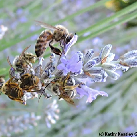
Two species of male sunflower bees, Svastra obliqua and Melissodes agilis, spend the day on our Mexican sunflowers (Tithonia) chasing the girls and protecting their turf. Sometimes I wonder why they don't tire out sooner than they do. The Energizer Bunny could take lessons from them.
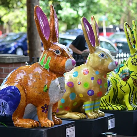
Have you ever seen butterflies on jackrabbits? No? Well, if you attended the recent "We Know Jack" public art exhibit at the Vacaville Museum on Buck Avenue, you saw jackrabbits. Plenty of jack rabbits. And butterflies. Plenty of butterflies.
Woolly distaff thistle is a persistent problem on rangeland in the northern Bay Area, especially on ranches that raise cattle for organic dairy or beef.
IN THIS ISSUE: INTRODUCTION AND NEW RESEARCH Did a Newly Introduced Fukumoto Navel Budline from Spain Perform Better than the California Budline in the San Joaquin Valley? What values should olive growers use for estimating crop nitrogen removal at harvest?
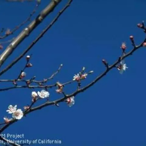
Deciduous plants need a certain period of dormancy during which they accumulate hours of cold. This is a very practical process on their part, since most dormant plants grow in cold climates. Differing areas have different patterns of cold.