The first day of the 2024 ESRI User Conference was filled with exciting announcements and innovative stories of Conservation and GIS. With around 21,000 attendees in San Diego and an additional people joining virtually, the energy and enthusiasm were palpable.
By Andy Lyons, Priyanka D Vyas, Sean D Hogan, Genoa Starrs
We bring you stories from DroneCamp 2024, now in its 8th year and wrapping up a successful week at CSU Monterey Bay. Meet Barbara Satink Wolfson, one of the 5 fire advisors in UC Cooperative Extension.
DroneCamp June 24-28, 2024 CSU Monterey Bay (plus virtual open) DroneCamp is a premiere five-day training program that covers everything you need to know to use drones for mapping and data collection.
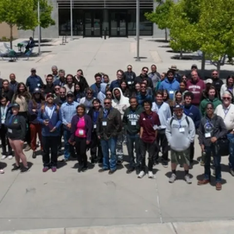
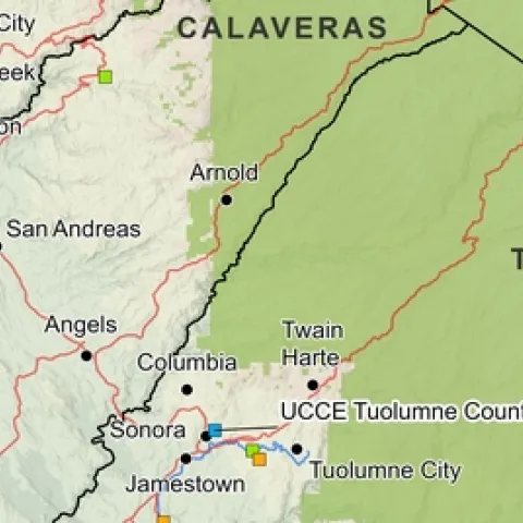
Settling into a new county can be challenging. One has to figure out where things are, how to get from A to B, and where the greatest needs and opportunities are. To help new Cooperative Extension Advisors navigate these waters, IGIS in the past year has booted up a new service called Maps for CE.
IGIS is pleased to share that beginning January 22, our servers will be migrating to the new data center near Sacramento. As part of the move, our equipment is being upgraded to a more stable and secure platforms.