Ten Essential Ways to Make StoryMaps Accessible
April 29, 2026
By Priyanka D Vyas, Robert Johnson, Shane T Feirer, Maggi Kelly, Andy Lyons
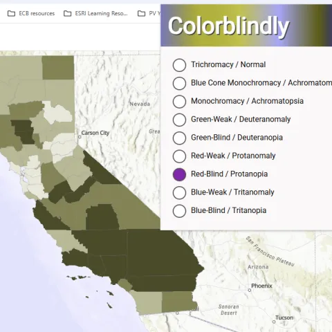
Display Site-Specific Photographs Using the Attachment Viewer Instant App Template
October 6, 2025
By Priyanka D Vyas

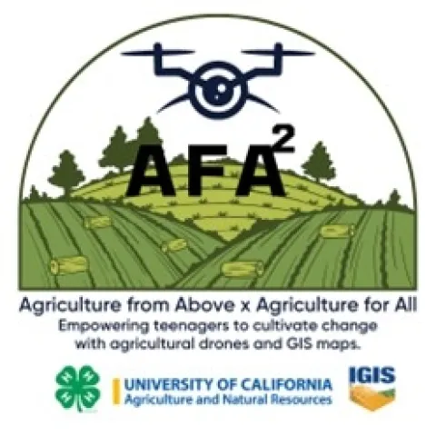
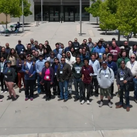
4-H Agriculture from Above x Agricultural for All (AFA2) Workshops
August 4, 2025
By Sean D Hogan
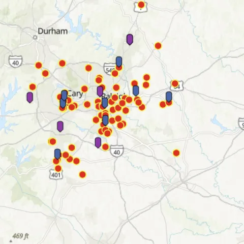
4H’ers showcase the use of GIS to solve problems in public health, food insecurity, and low voter turnout
May 15, 2025
By Priyanka D Vyas
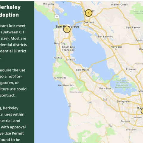
Students use ArcGIS StoryMaps to educate urban farmers on policy issues at a community event
May 2, 2025
By Priyanka D Vyas
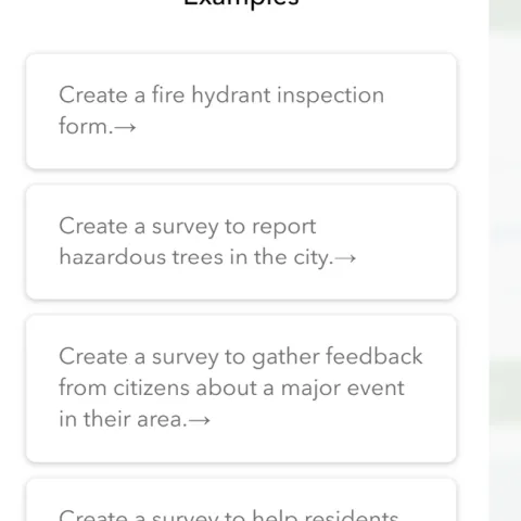
Designing a survey becomes easy as ESRI introduces AI Assistant into Survey 123
May 2, 2025
By Priyanka D Vyas
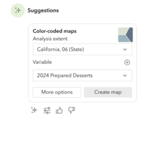
Making a map for your needs assessment just got easier as ESRI powers Business Analyst with GeoAI Assistant
April 23, 2025
By Priyanka D Vyas

1st International Conference on Drones and Unmanned Systems (DAUS' 2025)
March 3, 2025
By Sean D Hogan
Design your own map of the UC ANR system - without GIS!
February 16, 2025
By Andy Lyons
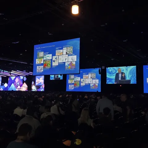
ESRI User Conference Day 4: Highlights from the World of Spatial Stats
July 18, 2024
By Priyanka D Vyas
ESRI User Conference 2004 in San Diego - Day 3: Embracing AI
July 17, 2024
By Shane T Feirer
ESRI User Conference Day 2 - AI and ESRI's partnership with Microsoft get the spotlight
July 17, 2024
By Priyanka D Vyas
Stories from DroneCamp 2024
July 2, 2024
By Andy Lyons, Priyanka D Vyas, Sean D Hogan, Genoa Starrs