

NASA NEX wins the 2014 HPCwire Readers' and Editors' Choice Award
December 3, 2014
By Maggi Kelly
Mayflies, Fish and the Fusion of Art and Science
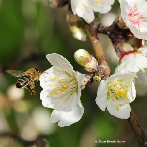
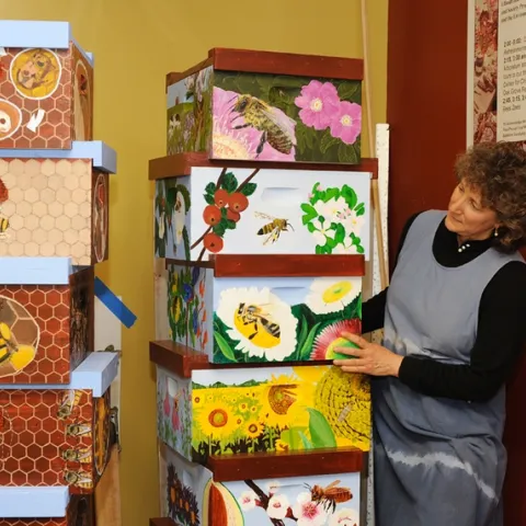
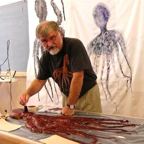
December 2, 2014
By Kathy Keatley Garvey

New Subtropical Tree Crops Advisor for Riverside and San Diego
December 2, 2014
By Ben A Faber